Clifton Area, Clifton Postcode(4180) & Map in Clifton
Clifton Area, Clifton Postcode(4180) & Map in Clifton, Hastings District, New Zealand
Clifton, Hastings District, New Zealand
Clifton Postcodes
Clifton Area (estimated)
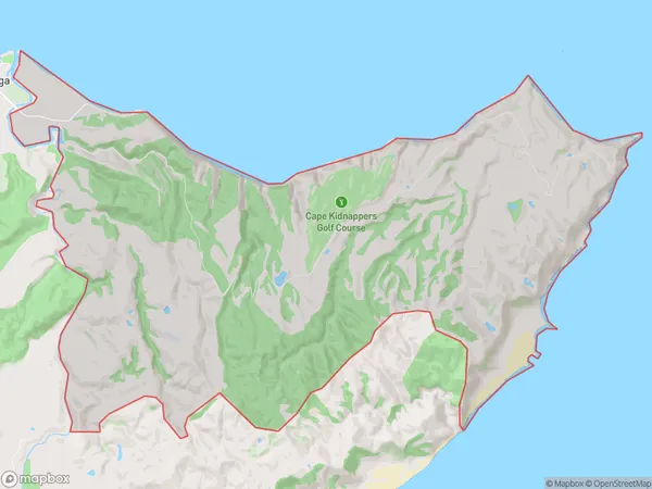
35.4 square kilometersClifton Population (estimated)
44 people live in Clifton, Hawke's Bay, NZClifton Suburb Area Map (Polygon)
Clifton Introduction
Clifton is a small coastal village in Te Awanga, Hawke's Bay, New Zealand. It is known for its beautiful beaches, clear waters, and stunning coastal scenery. The village has a population of around 200 people and is a popular destination for tourists and locals alike. Clifton is also home to a number of historic buildings, including the Clifton School, which was built in 1876.Region
Major City
Suburb Name
CliftonOther Name(s)
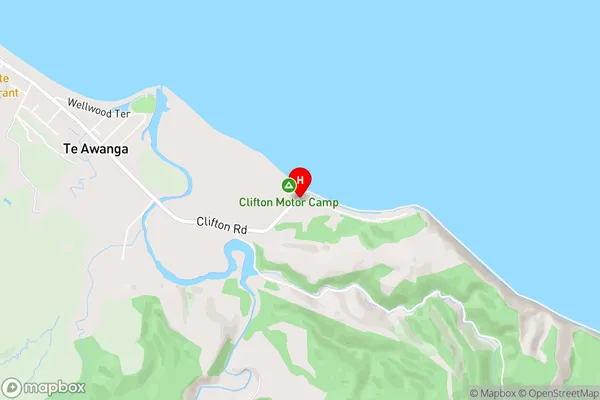
RangaiikaClifton Area Map (Street)
Local Authority
Hastings DistrictFull Address
Clifton, Hastings District, New ZealandAddress Type
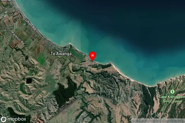
Locality in Town Te AwangaClifton Suburb Map (Satellite)
Country
Main Region in AU
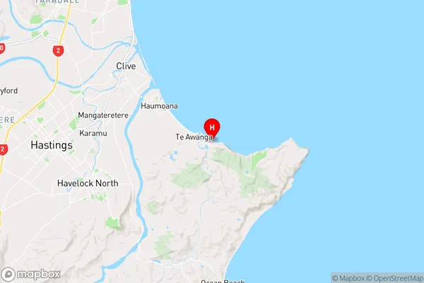
Hawke's BayClifton Region Map
Coordinates
-39.639216,176.999127 (latitude/longitude)Distances
The distance from Clifton, Te Awanga, Hastings District to NZ Top 10 Cities