Te Awanga Area, Te Awanga Postcode(4180) & Map in Te Awanga
Te Awanga Area, Te Awanga Postcode(4180) & Map in Te Awanga, Hastings District, New Zealand
Te Awanga, Hastings District, New Zealand
Te Awanga Area (estimated)
12.9 square kilometersTe Awanga Population (estimated)
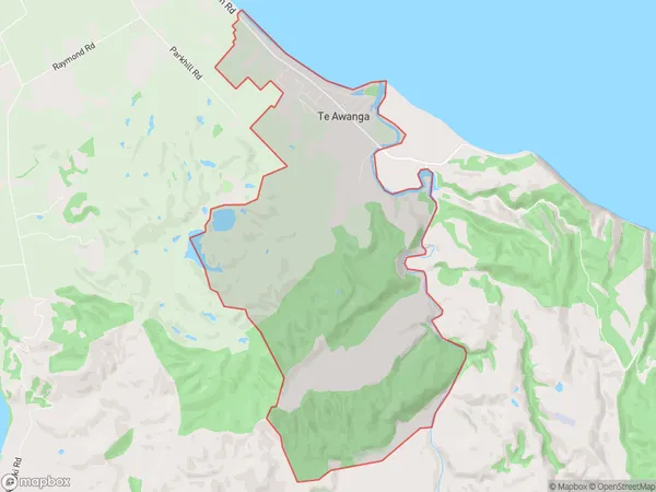
822 people live in Te Awanga, Hawke's Bay, NZTe Awanga Suburb Area Map (Polygon)
Te Awanga Introduction
Te Awanga is a small coastal town in Hawke's Bay, New Zealand. It is known for its beautiful beaches, clear waters, and stunning sunsets. The town has a population of around 1,200 people and is a popular destination for tourists and locals alike. It is located about 120 kilometers east of Hastings and 20 kilometers west of Wairoa.Region
Major City
Suburb Name
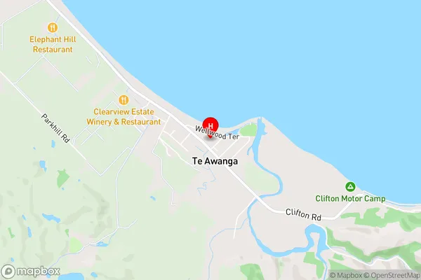
Te AwangaTe Awanga Area Map (Street)
Local Authority
Hastings DistrictFull Address
Te Awanga, Hastings District, New ZealandAddress Type
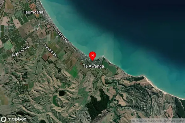
Suburb in Town Te AwangaTe Awanga Suburb Map (Satellite)
Country
Main Region in AU
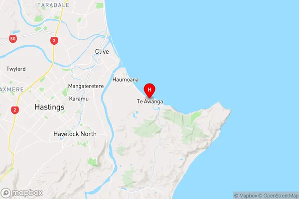
Hawke's BayTe Awanga Region Map
Coordinates
-39.6338396,176.9810477 (latitude/longitude)Distances
The distance from Te Awanga, Te Awanga, Hastings District to NZ Top 10 Cities