Whangara Suburbs & Region, Whangara Map & Postcodes in Whangara, Gisborne, Gisborne
Whangara Postcodes, Whangara ZipCodes, Whangara , Whangara Gisborne, Whangara Suburbs, Whangara Region, Whangara Map, Whangara Area
Whangara Region
Whangara Suburbs
Whangara is a suburb place type in Gisborne, Gisborne, NZ. It contains 0 suburbs or localities.Whangara Postcodes
Whangara Region Map

Whangara Introduction
Whangara is a small coastal village located in the Gisborne Region of New Zealand's North Island. It is known for its stunning natural beauty, including a long stretch of sandy beach, picturesque coastal walks, and a range of wildlife. The village has a population of around 1,000 people and is a popular destination for tourists and locals alike. It is surrounded by lush forest and farmland and is located just a short drive from Gisborne city. Whangara is a peaceful and tranquil place to live, with a strong sense of community and a relaxed atmosphere. It is an ideal location for those who enjoy outdoor activities such as hiking, fishing, and surfing, as well as for those who simply want to relax and enjoy the natural beauty of the area.Whangara Region
Whangara City
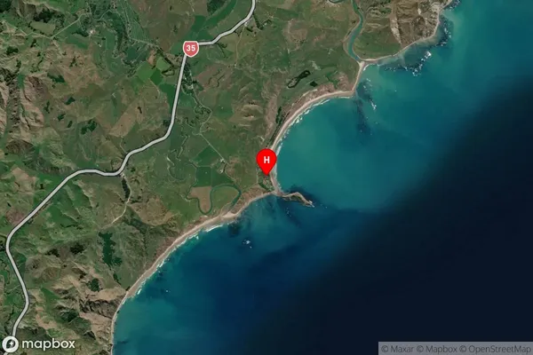
Whangara Satellite Map
Full Address
Whangara, Gisborne, GisborneWhangara Coordinates
-38.570117,178.230182 (Latitude / Longitude)Whangara Map in NZ
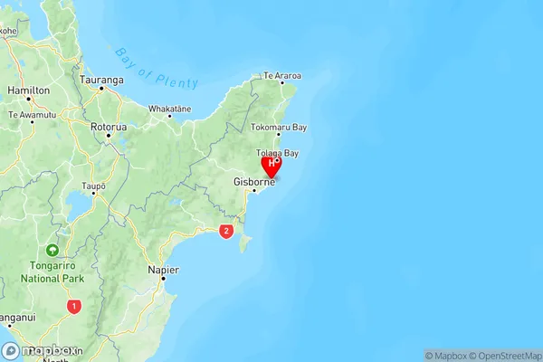
NZ Island
North IslandCountry
Whangara Area Map (Polygon)
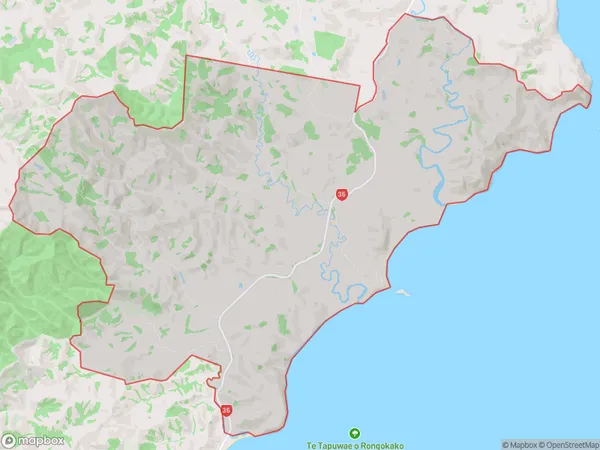
Name
WhangaraAdditional Name
Local Authority
Gisborne District
Whangara Suburbs (Sort by Population)
Whangara suburb has around
98.9 square
kilometers.There are more than 187 people (estimated)
live in Whangara, Gisborne, Gisborne, New Zealand.