Whangara Area, Whangara Postcode(4073) & Map in Whangara
Whangara Area, Whangara Postcode(4073) & Map in Whangara, Gisborne District,
Whangara, Gisborne District,
Whangara Postcodes
Whangara Area (estimated)
98.9 square kilometersWhangara Population (estimated)
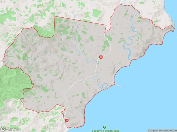
187 people live in Whangara, Gisborne, NZWhangara Suburb Area Map (Polygon)
Whangara Introduction
Whangara is a small rural community located in the Gisborne region of New Zealand. It is known for its stunning natural beauty, including the Whangara Forest Park, a popular hiking and camping destination. The community has a strong Maori heritage and is home to a number of historic buildings and landmarks. Whangara also has a vibrant arts community, with a number of galleries and studios located in the area.Region
Major City
Suburb Name
WhangaraWhangara Area Map (Street)
Local Authority
Gisborne DistrictFull Address
Whangara, Gisborne District,Address Type
Locality in Major Locality WhangaraWhangara Suburb Map (Satellite)
Country
Main Region in AU
GisborneWhangara Region Map
Coordinates
0,0 (latitude/longitude)Distances
The distance from Whangara, Whangara, Gisborne District to NZ Top 10 Cities