Makorori Area, Makorori Postcode(4010) & Map in Makorori
Makorori Area, Makorori Postcode(4010) & Map in Makorori, Gisborne District, New Zealand
Makorori, Gisborne District, New Zealand
Makorori Postcodes
Makorori Area (estimated)
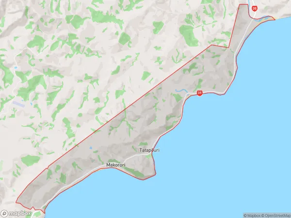
13.4 square kilometersMakorori Population (estimated)
182 people live in Makorori, Gisborne, NZMakorori Suburb Area Map (Polygon)
Makorori Introduction
Makorori is a small coastal village in Gisborne, New Zealand, known for its stunning natural beauty, including a picturesque beach, native forests, and a stunning coastal walkway. The village has a population of around 200 people and is a popular destination for tourists and nature lovers alike. It is also home to a unique species of owl, the Makorori owl, which is found nowhere else in the world.Region
Major City
Suburb Name
MakororiOther Name(s)
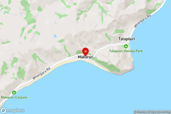
TatapouriMakorori Area Map (Street)
Local Authority
Gisborne DistrictFull Address
Makorori, Gisborne District, New ZealandAddress Type
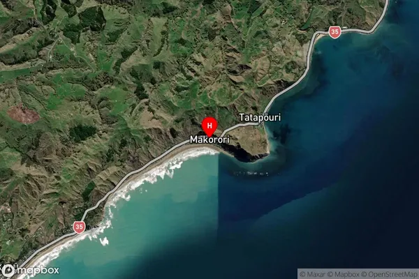
Locality in Major Locality WhangaraMakorori Suburb Map (Satellite)
Country
Main Region in AU
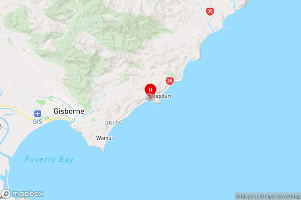
GisborneMakorori Region Map
Coordinates
-38.6493773,178.1324 (latitude/longitude)Distances
The distance from Makorori, Whangara, Gisborne District to NZ Top 10 Cities