Whangaroa Suburbs & Region, Whangaroa Map & Postcodes in Whangaroa, Far North, Northland
Whangaroa Postcodes, Whangaroa ZipCodes, Whangaroa , Whangaroa Northland, Whangaroa Suburbs, Whangaroa Region, Whangaroa Map, Whangaroa Area
Whangaroa Region (Whangeroa Region)
Whangaroa Suburbs
Whangaroa is a suburb place type in Far North, Northland, NZ. It contains 0 suburbs or localities.Whangaroa district
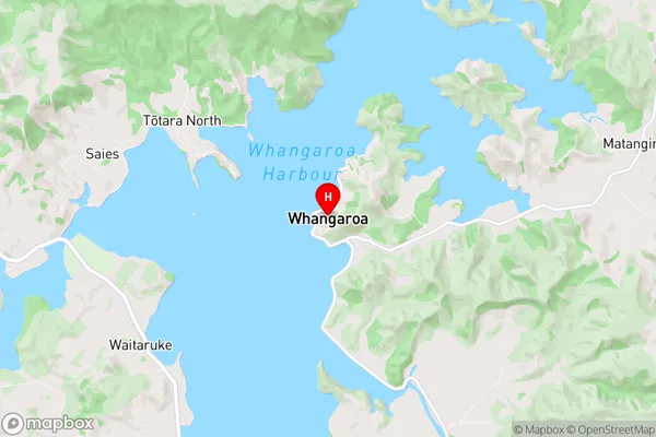
Far NorthWhangaroa Region Map
Whangaroa Introduction
Whangaroa is a small, isolated Northland town located on the southern side of the Northland Peninsula in New Zealand. It is known for its stunning natural scenery, including the iconic Whangaroa Heads, a group of three ancient volcanic peaks that rise out of the sea. The town is surrounded by pristine beaches, rugged cliffs, and dense forests, and is a popular destination for outdoor enthusiasts and nature lovers. Whangaroa also has a rich cultural heritage, with several historic sites and museums, including the Whangaroa Museum, which showcases the region's Maori culture and history. The town has a population of around 500 people and is accessible by road from the nearby town of Kerikeri.Whangaroa Region
Whangaroa City
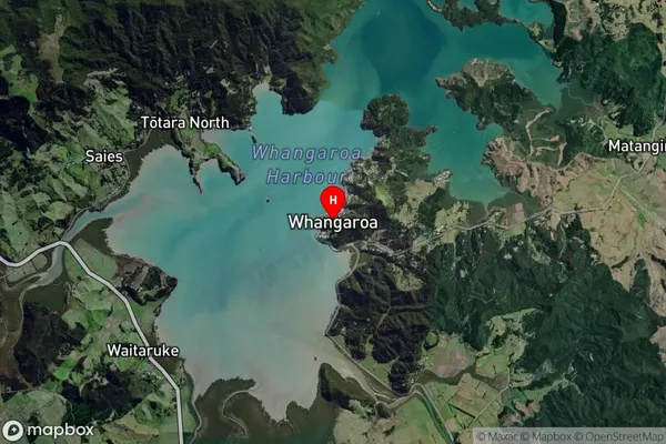
Whangaroa Satellite Map
Full Address
Whangaroa, Far North, NorthlandWhangaroa Coordinates
-35.052941,173.742099 (Latitude / Longitude)Whangaroa Map in NZ
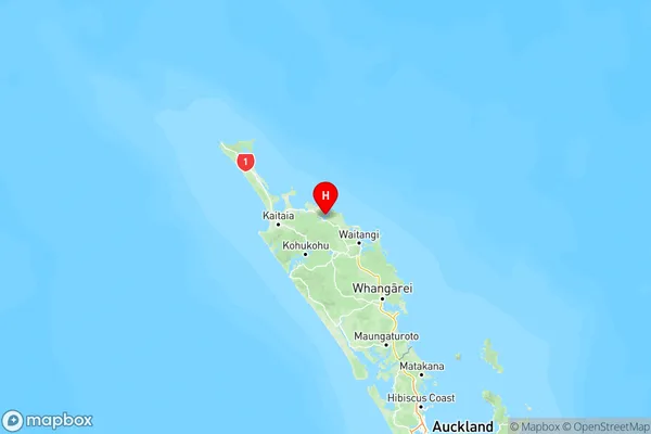
NZ Island
North IslandCountry
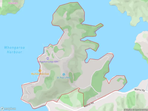
Whangaroa Area Map (Polygon)
Name
WhangaroaAdditional Name
WhangeroaLocal Authority
Far North District
Whangaroa Suburbs (Sort by Population)
Whangaroa also known as Whangeroa. Whangaroa suburb has around
2.8 square
kilometers.There are more than 226 people (estimated)
live in Whangaroa, Bay of Islands-Whangaroa Community, Northland, New Zealand.