Matawai Suburbs & Region, Matawai Map & Postcodes in Matawai, Gisborne, Gisborne
Matawai Postcodes, Matawai ZipCodes, Matawai , Matawai Gisborne, Matawai Suburbs, Matawai Region, Matawai Map, Matawai Area
Matawai Region (Keretu, Koranga Region)
Matawai Suburbs
Matawai is a suburb place type in Gisborne, Gisborne, NZ. It contains 2 suburbs or localities.Matawai Postcodes
Matawai Region Map
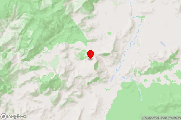
Matawai Introduction
Matawai is a small rural community in the Gisborne region of New Zealand. It is located on the eastern coast of the North Island and is known for its stunning natural scenery, including rolling hills, lush forests, and pristine beaches. The community has a population of around 200 people and is home to a variety of businesses, including a hotel, a restaurant, and a convenience store. Matawai is also a popular destination for outdoor enthusiasts, with many hiking and biking trails nearby. The community is surrounded by farmland and has a strong agricultural heritage, with many local farmers producing wine, fruit, and vegetables.Matawai Region
Matawai City
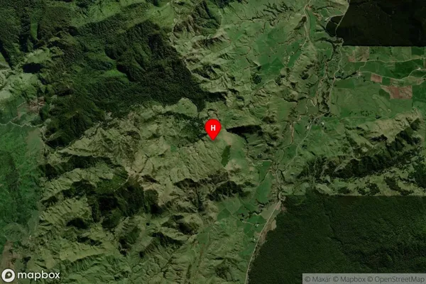
Matawai Satellite Map
Full Address
Matawai, Gisborne, GisborneMatawai Coordinates
-38.415806,177.436868 (Latitude / Longitude)Matawai Map in NZ
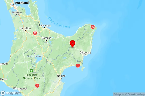
NZ Island
North IslandCountry
Matawai Area Map (Polygon)
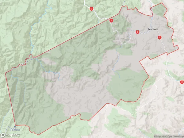
Name
MatawaiAdditional Name
Keretu, KorangaLocal Authority
Gisborne District