Rakauroa Area, Rakauroa Postcode(4075) & Map in Rakauroa
Rakauroa Area, Rakauroa Postcode(4075) & Map in Rakauroa, Gisborne District, New Zealand
Rakauroa, Gisborne District, New Zealand
Rakauroa Postcodes
Rakauroa Area (estimated)
146.3 square kilometersRakauroa Population (estimated)
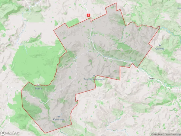
71 people live in Rakauroa, Gisborne, NZRakauroa Suburb Area Map (Polygon)
Rakauroa Introduction
Rakauroa is a small rural community on the eastern coast of the North Island of New Zealand. It is located in the Matawai District of Gisborne Region and is known for its stunning natural scenery, including the Rakauroa Forest Park and the Rakauroa Bay. The community has a population of around 200 people and is home to a variety of native plants and animals. Rakauroa is also a popular destination for outdoor activities such as hiking, fishing, and kayaking.Region
Major City
Suburb Name
Rakauroa (Maori Name: Rākauroa)Other Name(s)
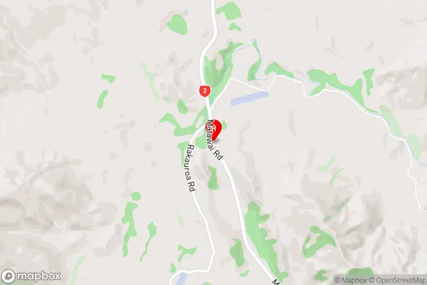
KeretuRakauroa Area Map (Street)
Local Authority
Gisborne DistrictFull Address
Rakauroa, Gisborne District, New ZealandAddress Type
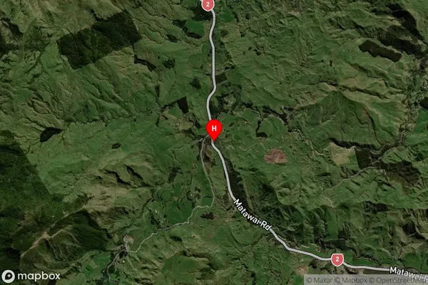
Locality in Major Locality MatawaiRakauroa Suburb Map (Satellite)
Country
Main Region in AU
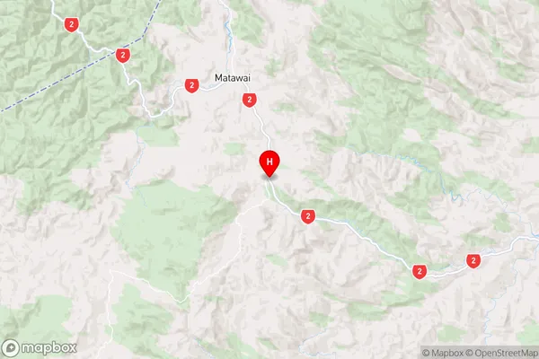
GisborneRakauroa Region Map
Coordinates
-38.4184433,177.561121 (latitude/longitude)Distances
The distance from Rakauroa, Matawai, Gisborne District to NZ Top 10 Cities