Matawai Area, Matawai Postcode(4075) & Map in Matawai
Matawai Area, Matawai Postcode(4075) & Map in Matawai, Gisborne District, New Zealand
Matawai, Gisborne District, New Zealand
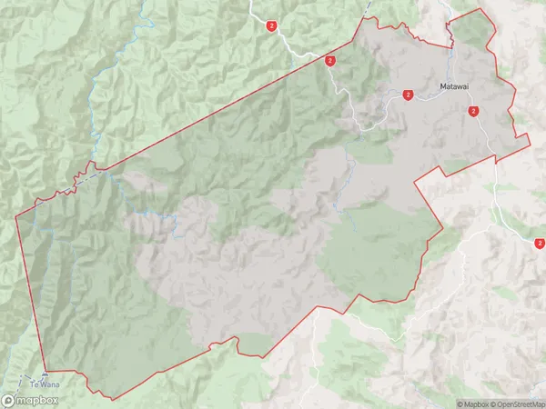
Matawai Area (estimated)
439.4 square kilometersMatawai Population (estimated)
253 people live in Matawai, Gisborne, NZMatawai Suburb Area Map (Polygon)
Matawai Introduction
Matawai is a small rural community in Gisborne, New Zealand. It is known for its beautiful beaches, lush forests, and stunning views of the Pacific Ocean. The community is home to a small population of around 100 people and is surrounded by farmland and natural reserves. Matawai is a popular destination for tourists and outdoor enthusiasts, who come to enjoy hiking, fishing, and kayaking in the area.Region
Major City
Suburb Name
Matawai (Maori Name: Mātāwai)Other Name(s)
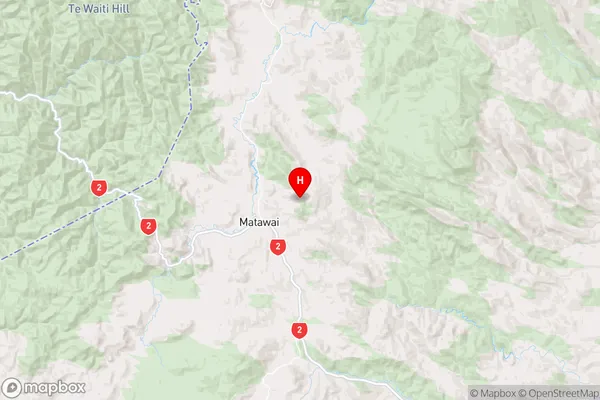
Keretu, KorangaMatawai Area Map (Street)
Local Authority
Gisborne DistrictFull Address
Matawai, Gisborne District, New ZealandAddress Type
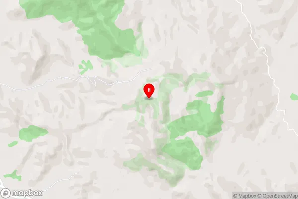
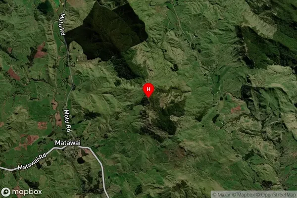
Locality in Major Locality MatawaiMatawai Suburb Map (Satellite)
Country
Main Region in AU
GisborneMatawai Region Map
Coordinates
-38.345563,177.5609218 (latitude/longitude)Distances
The distance from Matawai, Matawai, Gisborne District to NZ Top 10 Cities