Waitomo Suburbs & Region, Waitomo Map & Postcodes in Waitomo, Waikato
Waitomo Postcodes, Waitomo ZipCodes, Waitomo , Waitomo Waikato, Waitomo Suburbs, Waitomo Region, Waitomo Map, Waitomo Area
Waitomo Region (Waitomo Caves, Waitomo Valley Region)
Waitomo Suburbs
Waitomo is a district place type in Waikato, NZ. It contains 8 suburbs or localities.Waitomo district
WaitomoWaitomo Introduction
Waitomo, Waikato, New Zealand, is famous for its unique underground caves and glowworm displays. The caves are home to thousands of glowworms, a type of worm that emits a soft light to attract prey. Visitors can take guided tours through the caves and learn about the history and culture of the area. The caves are also a popular spot for caving, abseiling, and ziplining.Waitomo Region
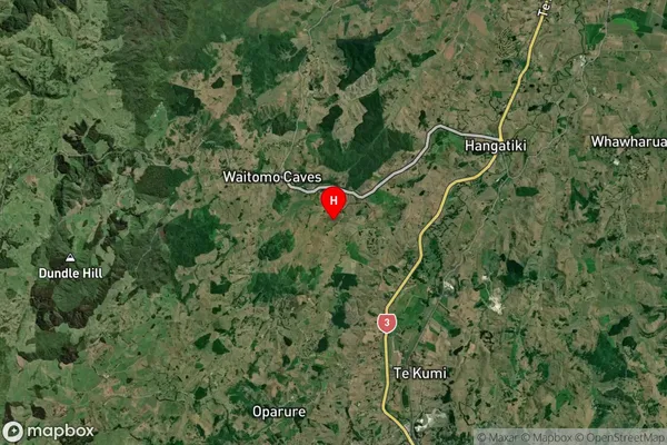
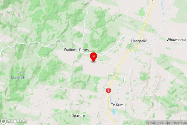
Waitomo Satellite Map

Full Address
Waitomo, WaikatoWaitomo Coordinates
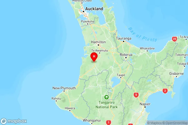
-38.272151,175.129281 (Latitude / Longitude)Waitomo Map in NZ

NZ Island
North IslandCountry
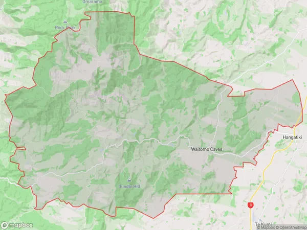
Waitomo Area Map (Polygon)

Name
WaitomoAdditional Name
Waitomo Caves, Waitomo ValleyLocal Authority
Waitomo District
Waitomo Suburbs (Sort by Population)
Waitomo also known as Waitomo Caves, Waitomo Valley. Waitomo suburb has around
219.7 square
kilometers.There are more than 517 people (estimated)
live in Waitomo, , Waikato, New Zealand.
