Marokopa Suburbs & Region, Marokopa Map & Postcodes in Marokopa, Waitomo, Waikato
Marokopa Postcodes, Marokopa ZipCodes, Marokopa , Marokopa Waikato, Marokopa Suburbs, Marokopa Region, Marokopa Map, Marokopa Area
Marokopa Region (Kiritehere Region)
Marokopa Suburbs
Marokopa is a suburb place type in Waitomo, Waikato, NZ. It contains 0 suburbs or localities.Marokopa district
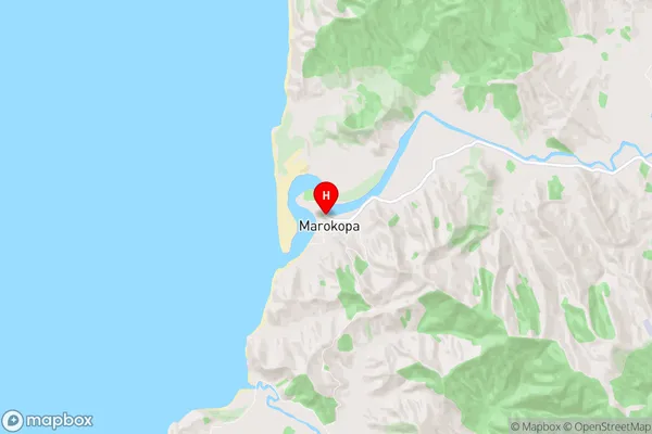
WaitomoMarokopa Region Map
Marokopa Introduction
Marokopa is a small township in the Waikato region of New Zealand. It is located on State Highway 1, approximately 30 kilometers south of Hamilton and 12 kilometers north of Morrinsville. The township has a population of around 200 people and is known for its scenic rural setting and peaceful atmosphere. The area is popular with outdoor enthusiasts, with many walking and cycling trails nearby. The Marokopa River runs through the township, providing a source of water for local farms and a popular spot for fishing and swimming. The nearby town of Morrinsville also offers a range of amenities, including a supermarket, a hospital, and a variety of shops and restaurants.Marokopa Region
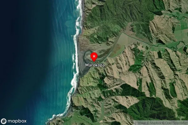
Marokopa Satellite Map
Full Address
Marokopa, Waitomo, WaikatoMarokopa Coordinates
-38.3022086,174.7215299 (Latitude / Longitude)Marokopa Map in NZ
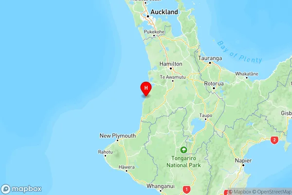
NZ Island
North IslandCountry
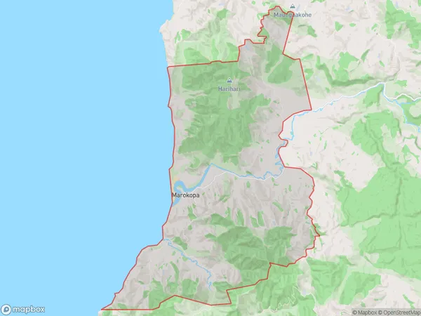
Marokopa Area Map (Polygon)
Name
MarokopaAdditional Name
KiritehereLocal Authority
Waitomo District
Marokopa Suburbs (Sort by Population)
Marokopa also known as Kiritehere. Marokopa suburb has around
101.0 square
kilometers.There are more than 113 people (estimated)
live in Marokopa, , Waikato, New Zealand.