Mahoenui Suburbs & Region, Mahoenui Map & Postcodes in Mahoenui, Waitomo, Waikato
Mahoenui Postcodes, Mahoenui ZipCodes, Mahoenui , Mahoenui Waikato, Mahoenui Suburbs, Mahoenui Region, Mahoenui Map, Mahoenui Area
Mahoenui Region
Mahoenui Suburbs
Mahoenui is a suburb place type in Waitomo, Waikato, NZ. It contains 1 suburbs or localities.Mahoenui district
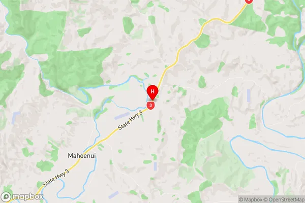
WaitomoMahoenui Region Map
Mahoenui Introduction
Mahoenui is a small town in Waikato, New Zealand, located on the banks of the Mahoe River. It is known for its beautiful river views, historic buildings, and vibrant community. The town has a population of around 500 people and is a popular destination for outdoor activities such as fishing, hiking, and cycling. It is also home to the Mahoe Park Racecourse, which hosts regular horse racing events. The town has a strong sense of community spirit and is proud of its heritage and cultural traditions.Mahoenui Region
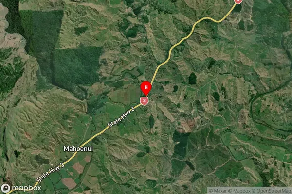
Mahoenui Satellite Map
Full Address
Mahoenui, Waitomo, WaikatoMahoenui Coordinates
-38.5642318,174.8645212 (Latitude / Longitude)Mahoenui Map in NZ
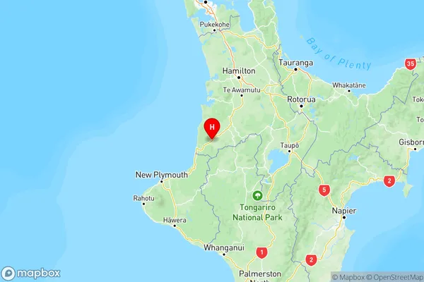
NZ Island
North IslandCountry
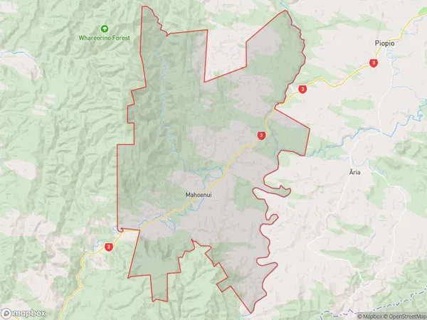
Mahoenui Area Map (Polygon)
Name
MahoenuiAdditional Name
Local Authority
Waitomo District
Mahoenui Suburbs (Sort by Population)
Mahoenui
Mahoenui - 117