Mahoenui Area, Mahoenui Postcode(3945) & Map in Mahoenui
Mahoenui Area, Mahoenui Postcode(3945) & Map in Mahoenui, Waitomo District, New Zealand
Mahoenui, Waitomo District, New Zealand
Mahoenui Area (estimated)
293.4 square kilometersMahoenui Population (estimated)
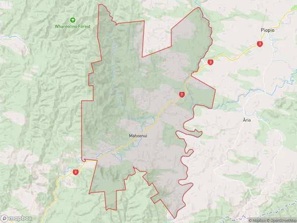
117 people live in Mahoenui, Waikato, NZMahoenui Suburb Area Map (Polygon)
Mahoenui Introduction
Mahoenui is a small town on the banks of the Mahoe River in Waikato, New Zealand. It is known for its beautiful beaches, stunning scenery, and vibrant community. The town has a population of around 2,000 people and is a popular destination for tourists and locals alike. It is also home to a number of historic buildings, including the Mahoe Pub and the Mahoe Domain.Region
0Suburb Name
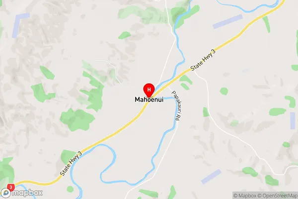
Mahoenui (Maori Name: Māhoenui)Mahoenui Area Map (Street)
Local Authority
Waitomo DistrictFull Address
Mahoenui, Waitomo District, New ZealandAddress Type
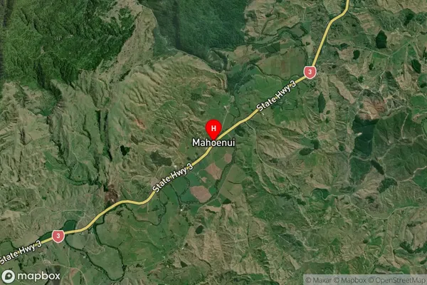
Locality in Major Locality MahoenuiMahoenui Suburb Map (Satellite)
Country
Main Region in AU
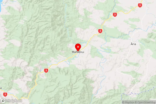
WaikatoMahoenui Region Map
Coordinates
-38.5785484,174.8406286 (latitude/longitude)Distances
The distance from Mahoenui, Mahoenui, Waitomo District to NZ Top 10 Cities