Te Kauwhata Suburbs & Region, Te Kauwhata Map & Postcodes in Te Kauwhata, Waikato, Waikato
Te Kauwhata Postcodes, Te Kauwhata ZipCodes, Te Kauwhata , Te Kauwhata Waikato, Te Kauwhata Suburbs, Te Kauwhata Region, Te Kauwhata Map, Te Kauwhata Area
Te Kauwhata Region
Te Kauwhata Suburbs
Te Kauwhata is a city place type in Waikato, Waikato, NZ. It contains 7 suburbs or localities.Te Kauwhata district
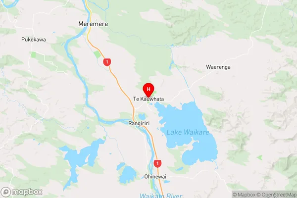
WaikatoTe Kauwhata Region Map
Te Kauwhata Introduction
Waikato is a region in the central North Island of New Zealand. It is known for its lush green landscapes, rolling hills, and stunning rivers. The region is home to a number of popular tourist attractions, including the Waikato River, Hamilton Gardens, and the Hobbiton Movie Set. Waikato is also home to a number of important historical sites, including the Battle of Te Kauwhata, which took place in 1860 and was a significant turning point in New Zealand's history. The region is known for its strong agricultural industry, with a number of farms and wineries located throughout the region. Waikato is also home to a number of universities and colleges, including the University of Waikato and Waikato Institute of Technology.Te Kauwhata Region
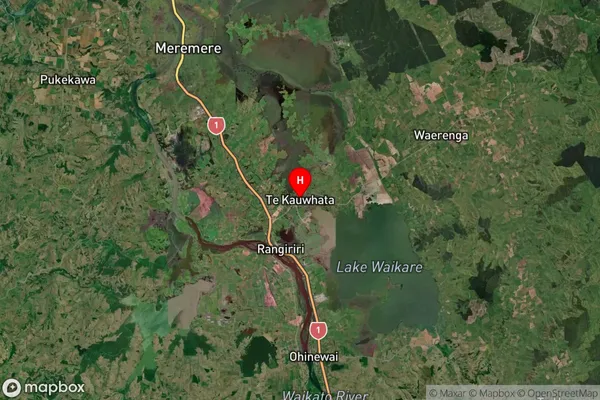
Te Kauwhata Satellite Map
Full Address
Te Kauwhata, Waikato, WaikatoTe Kauwhata Coordinates
-37.403464,175.146801 (Latitude / Longitude)Te Kauwhata Map in NZ
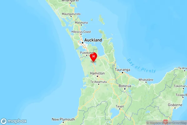
NZ Island
North IslandCountry
Te Kauwhata Suburbs (Sort by Population)
Te Kauwhata
Te Kauwhata - 2913Waerenga
Waerenga - 808Rangiriri
Rangiriri - 627Hampton Downs
Hampton Downs - 547Maramarua Forest
Maramarua Forest - 112Island Block
Island Block - 108Whangamarino
Whangamarino - 44
Te Kauwhata Suburbs (Sort in alphabetical)
Whangamarino