Island Block Area, Island Block Postcode(2441) & Map in Island Block
Island Block Area, Island Block Postcode(2441) & Map in Island Block, Waikato District, New Zealand
Island Block, Waikato District, New Zealand
Island Block Postcodes
Island Block Area (estimated)
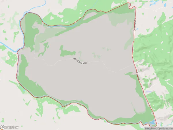
50.1 square kilometersIsland Block Population (estimated)
108 people live in Island Block, Waikato, NZIsland Block Suburb Area Map (Polygon)
Island Block Introduction
Island Block is a rural locality in the Waikato region of New Zealand. It is located on State Highway 1, 12 km south of Te Kauwhata and 42 km north of Hamilton. The area was known for its coal mining and farming, but these industries have declined in recent years. The Island Block Stream, a small river that flows through the area, is a popular spot for trout fishing. The locality has a population of around 100 people and has a primary school, a post office, and a community hall.Region
Major City
Suburb Name
Island BlockOther Name(s)
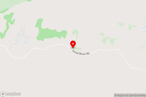
Meremere SouthIsland Block Area Map (Street)
Local Authority
Waikato DistrictFull Address
Island Block, Waikato District, New ZealandAddress Type
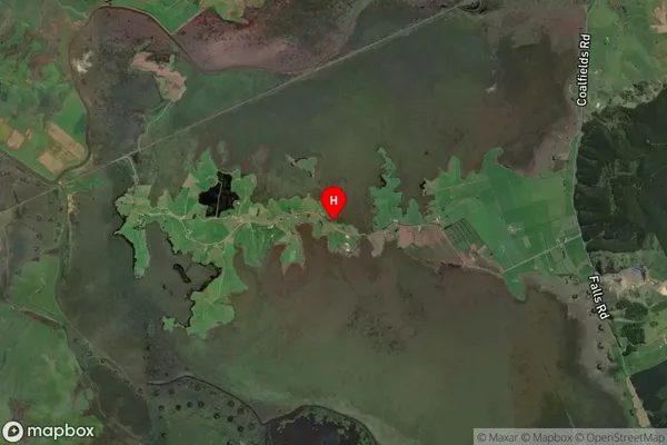
Locality in Town Te KauwhataIsland Block Suburb Map (Satellite)
Country
Main Region in AU
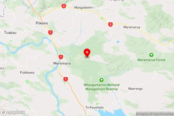
WaikatoIsland Block Region Map
Coordinates
-37.3104645,175.1291299 (latitude/longitude)Distances
The distance from Island Block, Te Kauwhata, Waikato District to NZ Top 10 Cities