Te Kauwhata Area, Te Kauwhata Postcode(3782) & Map in Te Kauwhata
Te Kauwhata Area, Te Kauwhata Postcode(3782) & Map in Te Kauwhata, Waikato District, New Zealand
Te Kauwhata, Waikato District, New Zealand
Te Kauwhata Area (estimated)
37.1 square kilometersTe Kauwhata Population (estimated)
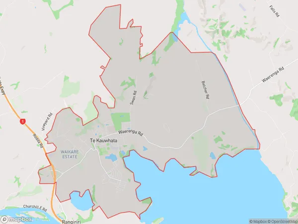
2913 people live in Te Kauwhata, Waikato, NZTe Kauwhata Suburb Area Map (Polygon)
Te Kauwhata Introduction
Te Kauwhata is a small town in Waikato, New Zealand, with a population of around 1,200 people. It is known for its beautiful natural surroundings, including the Te Kauwhata Bay and the Te Kauwhata Hills. The town has a strong Māori culture and is home to the Te Kauwhata Marae, a significant cultural center for the region. The town also has a primary school, a post office, a supermarket, and a variety of local businesses.Region
Major City
Suburb Name
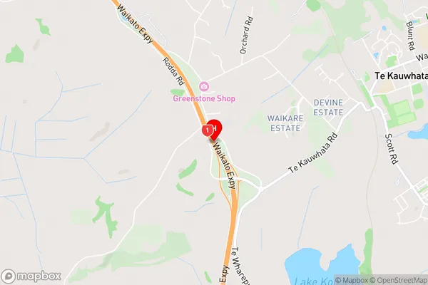
Te KauwhataTe Kauwhata Area Map (Street)
Local Authority
Waikato DistrictFull Address
Te Kauwhata, Waikato District, New ZealandAddress Type
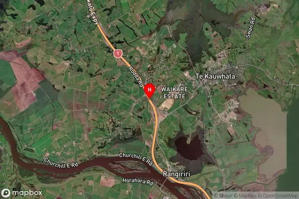
Suburb in Town Te KauwhataTe Kauwhata Suburb Map (Satellite)
Country
Main Region in AU
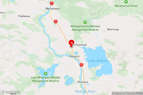
WaikatoTe Kauwhata Region Map
Coordinates
-37.4098403,175.1241856 (latitude/longitude)Distances
The distance from Te Kauwhata, Te Kauwhata, Waikato District to NZ Top 10 Cities