Te Akau Suburbs & Region, Te Akau Map & Postcodes in Te Akau, Waikato, Waikato
Te Akau Postcodes, Te Akau ZipCodes, Te Akau , Te Akau Waikato, Te Akau Suburbs, Te Akau Region, Te Akau Map, Te Akau Area
Te Akau Region (Kauri Flat, Ruakiwi, Rukuruku, Te Akau South, Waikorea Region)
Te Akau Suburbs
Te Akau is a suburb place type in Waikato, Waikato, NZ. It contains 0 suburbs or localities.Te Akau district
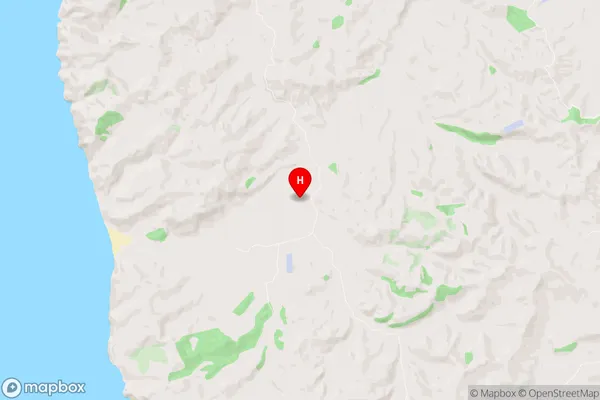
WaikatoTe Akau Region Map
Te Akau Introduction
Waikato is a region in the North Island of New Zealand, and Te Akau is a suburb of Hamilton City. It is located on the banks of the Waikato River and is known for its historic buildings and vibrant community. The suburb has a population of around 10,000 people and is home to a variety of shops, restaurants, and recreational facilities. Te Akau also has a strong cultural heritage, with a number of museums and galleries located in the area. The suburb is well-connected to other parts of the city, with regular bus and train services operating throughout the day.Te Akau Region
Te Akau City
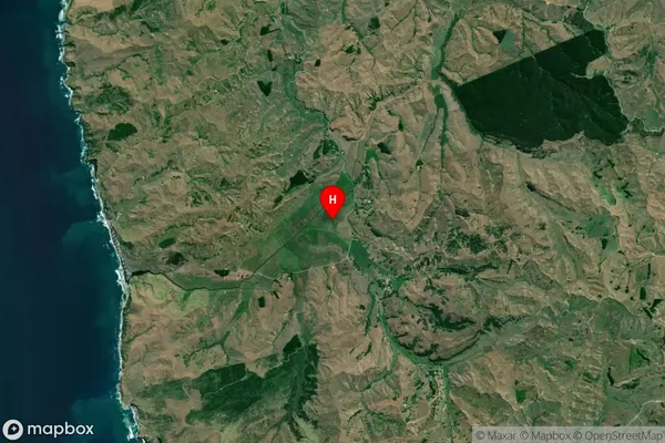
Te Akau Satellite Map
Full Address
Te Akau, Waikato, WaikatoTe Akau Coordinates
-37.71409,174.853146 (Latitude / Longitude)Te Akau Map in NZ
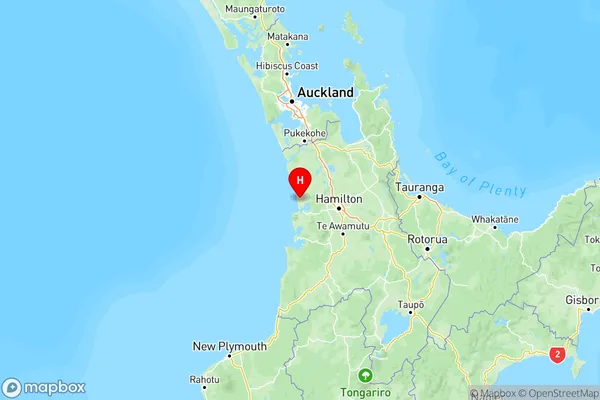
NZ Island
North IslandCountry
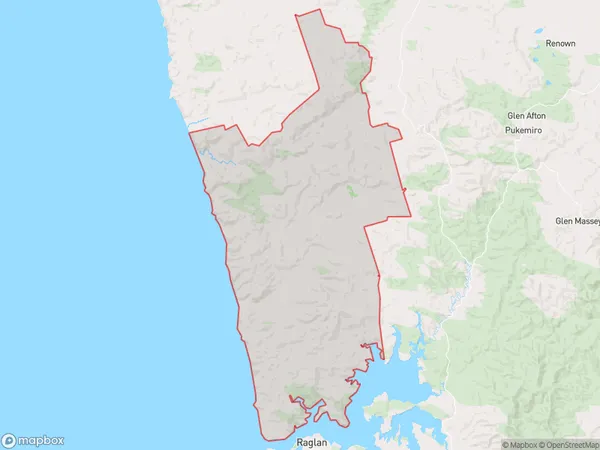
Te Akau Area Map (Polygon)
Name
Te AkauAdditional Name
Kauri Flat, Ruakiwi, Rukuruku, Te Akau South, WaikoreaLocal Authority
Waikato District
Te Akau Suburbs (Sort by Population)
Te Akau also known as Kauri Flat, Ruakiwi, Rukuruku, Te Akau South, Waikorea. Te Akau suburb has around
250.6 square
kilometers.There are more than 316 people (estimated)
live in Te Akau, Ngaruawahia, Waikato, New Zealand.