Rotongaro Suburbs & Region, Rotongaro Map & Postcodes in Rotongaro, Waikato, Waikato
Rotongaro Postcodes, Rotongaro ZipCodes, Rotongaro , Rotongaro Waikato, Rotongaro Suburbs, Rotongaro Region, Rotongaro Map, Rotongaro Area
Rotongaro Region (Pukekapia Region)
Rotongaro Suburbs
Rotongaro is a suburb place type in Waikato, Waikato, NZ. It contains 0 suburbs or localities.Rotongaro district
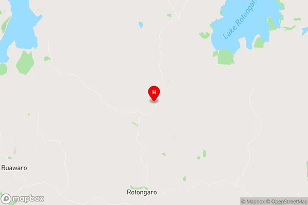
WaikatoRotongaro Region Map
Rotongaro Introduction
Rotongaro is a small rural community in the Waikato region of New Zealand. It is located on State Highway 1, approximately 30 kilometers south of Hamilton. The community has a population of around 200 people and is known for its scenic rural setting, with rolling hills and farmland surrounding the village. The local primary school is Rotongaro School, and the community also has a small church and a community hall. There are several nearby attractions, including the Waikato River, the Hamilton Gardens, and the Waikato Museum. Rotongaro is a popular destination for outdoor enthusiasts, with many walking and cycling trails in the surrounding area. The community is also home to a number of farms, including a sheep and beef farm, and a cherry orchard.Rotongaro Region
Rotongaro City
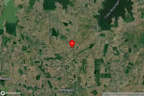
Rotongaro Satellite Map
Full Address
Rotongaro, Waikato, WaikatoRotongaro Coordinates
-37.509928,175.087318 (Latitude / Longitude)Rotongaro Map in NZ
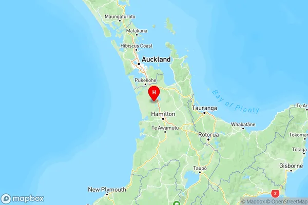
NZ Island
North IslandCountry
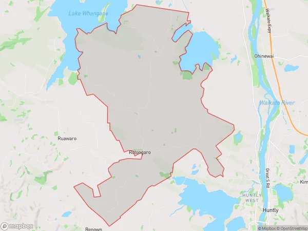
Rotongaro Area Map (Polygon)
Name
RotongaroAdditional Name
PukekapiaLocal Authority
Waikato District
Rotongaro Suburbs (Sort by Population)
Rotongaro also known as Pukekapia. Rotongaro suburb has around
60.4 square
kilometers.There are more than 289 people (estimated)
live in Rotongaro, Huntly, Waikato, New Zealand.