Raglan Suburbs & Region, Raglan Map & Postcodes in Raglan, Waikato, Waikato
Raglan Postcodes, Raglan ZipCodes, Raglan , Raglan Waikato, Raglan Suburbs, Raglan Region, Raglan Map, Raglan Area
Raglan Region (Kauroa, Makaka, Motakotako, Okete, Rahanui, Rangipu, Ranui, Raoraokauere, Ruapuke, Te Hutewai, Te Mata, Te Uku, Te Uku Landing, Three Streams Region)
Raglan Suburbs
Raglan is a city place type in Waikato, Waikato, NZ. It contains 2 suburbs or localities.Raglan district
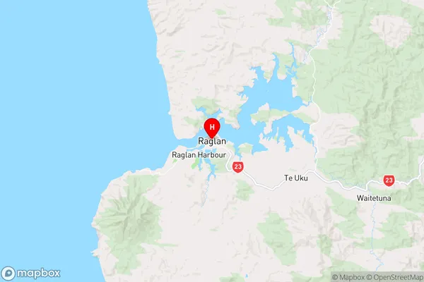
WaikatoRaglan Region Map
Raglan Introduction
Raglan is a small town on the Waikato River in the Waikato region of New Zealand. It is well-known for its scenic beauty, with the Raglan Castle ruins overlooking the town. The town is a popular destination for outdoor activities such as surfing, hiking, and mountain biking, and is home to a number of popular festivals, including the Raglan Food and Wine Festival. Raglan also has a rich history, with the first settlers arriving in the area in the 1840s.Raglan Region
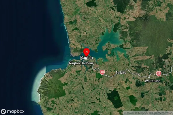
Raglan Satellite Map
Full Address
Raglan, Waikato, WaikatoRaglan Coordinates
-37.80035,174.874433 (Latitude / Longitude)Raglan Map in NZ
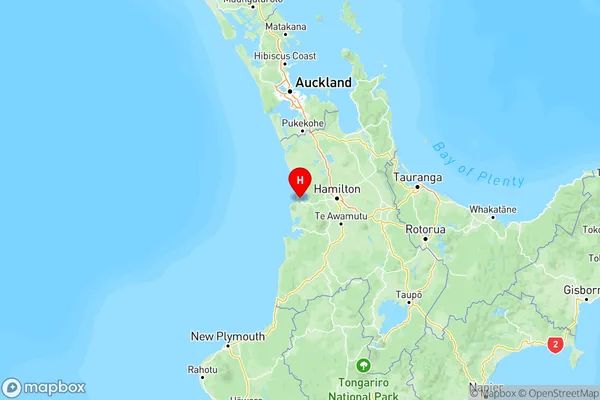
NZ Island
North IslandCountry
Raglan Area Map (Polygon)
Not available for nowName
RaglanAdditional Name
Kauroa, Makaka, Motakotako, Okete, Rahanui, Rangipu, Ranui, Raoraokauere, Ruapuke, Te Hutewai, Te Mata, Te Uku, Te Uku Landing, Three StreamsLocal Authority
Waikato District
Raglan Suburbs (Sort by Population)
Raglan Suburbs (Sort in alphabetical)
Waitetuna