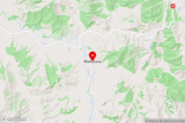
Waitetuna Suburbs & Region, Waitetuna Map & Postcodes in Waitetuna, Raglan, Waikato
Waitetuna Postcodes, Waitetuna ZipCodes, Waitetuna , Waitetuna Waikato, Waitetuna Suburbs, Waitetuna Region, Waitetuna Map, Waitetuna Area
Waitetuna Region (Aramiro Region)
Waitetuna Suburbs
Waitetuna is a suburb place type in Raglan, Waikato, NZ. It contains 0 suburbs or localities.Waitetuna Postcodes
Waitetuna district
WaikatoWaitetuna Region Map

Waitetuna Introduction
Waikato is a region in the North Island of New Zealand, and Waitetuna is a suburb of the city of Hamilton. It is located on the banks of the Waikato River, approximately 10 kilometers south of Hamilton city center. Waitetuna is a popular residential area known for its peaceful atmosphere, scenic surroundings, and good schools. It has a variety of shops, restaurants, and recreational facilities, including a golf course, swimming pools, and parks. The suburb also has a strong community spirit, with numerous events and activities held throughout the year. Waitetuna is well-connected to other parts of the city, with easy access to the motorway and public transportation. It is a great place to live for families, professionals, and retirees alike.Waitetuna Region
Waitetuna City
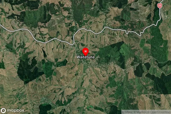
Waitetuna Satellite Map

Full Address
Waitetuna, Raglan, WaikatoWaitetuna Coordinates
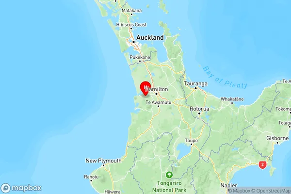
-37.844266,175.031862 (Latitude / Longitude)Waitetuna Map in NZ

NZ Island
North IslandCountry
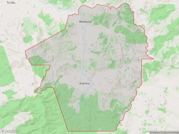
Waitetuna Area Map (Polygon)

Name
WaitetunaAdditional Name
AramiroLocal Authority
Waikato District, Waipa District
Waitetuna Suburbs (Sort by Population)
Waitetuna also known as Aramiro. Waitetuna suburb has around
101.3 square
kilometers.There are more than 386 people (estimated)
live in Waitetuna, Raglan, Waikato, New Zealand.