Raglan Area, Raglan Postcode(3225) & Map in Raglan
Raglan Area, Raglan Postcode(3225) & Map in Raglan, Waikato District, New Zealand
Raglan, Waikato District, New Zealand
Raglan Area (estimated)
-1.2 square kilometersRaglan Population (estimated)
6491 people live in Raglan, Waikato, NZRaglan Suburb Area Map (Polygon)
Not available for nowRaglan Introduction
Raglan is a small town in the Waikato region of New Zealand, known for its scenic beauty, popular surf spot, and as the birthplace of Sir Edmund Hillary, the first man to climb Mount Everest. The town is surrounded by stunning natural landscapes, including the Raglan Castle and the Waikato River. It is a popular destination for outdoor enthusiasts and tourists alike.Region
Major City
Suburb Name
RaglanOther Name(s)
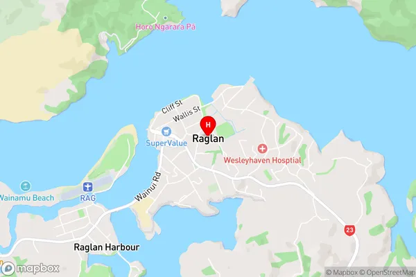
Kauroa, Makaka, Motakotako, Okete, Rahanui, Rangipu, Ranui, Raoraokauere, Ruapuke, Te Hutewai, Te Mata, Te Uku, Te Uku Landing, Three StreamsRaglan Area Map (Street)
Local Authority
Waikato DistrictFull Address
Raglan, Waikato District, New ZealandAddress Type
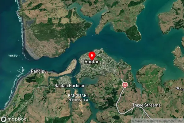
Suburb in Town RaglanRaglan Suburb Map (Satellite)
Country
Main Region in AU
WaikatoRaglan Region Map

Coordinates
-37.8003499,174.8744331 (latitude/longitude)Distances
The distance from Raglan, Raglan, Waikato District to NZ Top 10 Cities