Ohinewai Suburbs & Region, Ohinewai Map & Postcodes in Ohinewai, Waikato, Waikato
Ohinewai Postcodes, Ohinewai ZipCodes, Ohinewai , Ohinewai Waikato, Ohinewai Suburbs, Ohinewai Region, Ohinewai Map, Ohinewai Area
Ohinewai Region
Ohinewai Suburbs
Ohinewai is a suburb place type in Waikato, Waikato, NZ. It contains 0 suburbs or localities.Ohinewai district
WaikatoOhinewai Region Map
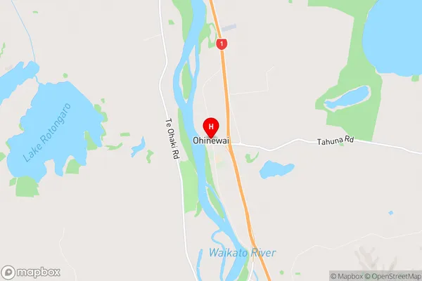
Ohinewai Introduction
Waikato is a region in the central North Island of New Zealand. It is home to the city of Hamilton, which is the country's largest city. The region is known for its fertile farmland, scenic landscapes, and rich cultural heritage. Waikato has a population of around 1.5 million people and is located about 120 kilometers south of Auckland. The region is home to a number of important historical sites, including the Waikato Museum and the Hamilton Gardens. Waikato is also a popular destination for outdoor enthusiasts, with a number of parks and reserves offering hiking, cycling, and fishing opportunities.Ohinewai Region
Ohinewai City
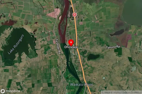
Ohinewai Satellite Map
Full Address
Ohinewai, Waikato, WaikatoOhinewai Coordinates
-37.488923,175.156221 (Latitude / Longitude)Ohinewai Map in NZ
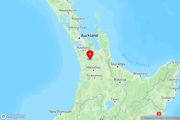
NZ Island
North IslandCountry
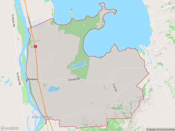
Ohinewai Area Map (Polygon)
Name
OhinewaiAdditional Name
Local Authority
Waikato District
Ohinewai Suburbs (Sort by Population)
Ohinewai suburb has around
47.3 square
kilometers.There are more than 303 people (estimated)
live in Ohinewai, Huntly, Waikato, New Zealand.