Lichfield Suburbs & Region, Lichfield Map & Postcodes in Lichfield, South Waikato, Waikato
Lichfield Postcodes, Lichfield ZipCodes, Lichfield , Lichfield Waikato, Lichfield Suburbs, Lichfield Region, Lichfield Map, Lichfield Area
Lichfield Region (Hodderville, North Putaruru, North Tokoroa, Pinedale Region)
Lichfield Suburbs
Lichfield is a suburb place type in South Waikato, Waikato, NZ. It contains 0 suburbs or localities.Lichfield Postcodes
Lichfield district
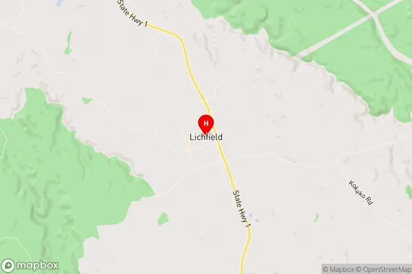
South WaikatoLichfield Region Map
Lichfield Introduction
Lichfield is a small town in Waikato, New Zealand, located on State Highway 1. It is known for its historic buildings, including the Lichfield Cathedral, which is the seat of the Anglican Diocese of Waikato. The town has a population of around 4,000 people and is surrounded by farmland and picturesque countryside. Lichfield is also home to a variety of recreational facilities, including a golf course, a swimming pool, and a sports complex.Lichfield Region
Lichfield City
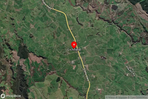
Lichfield Satellite Map
Full Address
Lichfield, South Waikato, WaikatoLichfield Coordinates
-38.104056,175.815747 (Latitude / Longitude)Lichfield Map in NZ
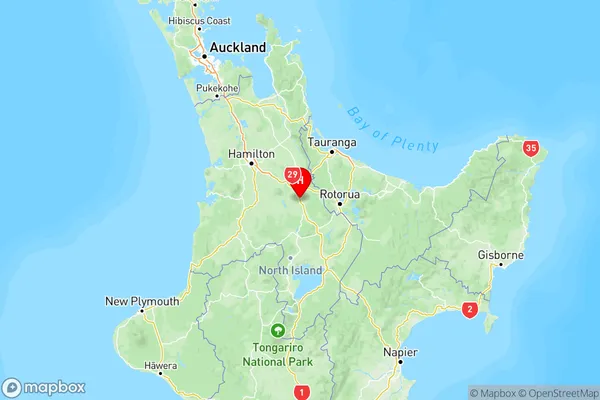
NZ Island
North IslandCountry
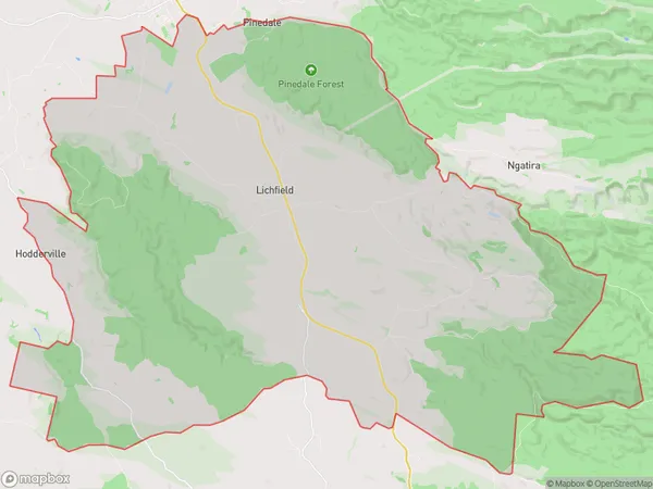
Lichfield Area Map (Polygon)
Name
LichfieldAdditional Name
Hodderville, North Putaruru, North Tokoroa, PinedaleLocal Authority
South Waikato District
Lichfield Suburbs (Sort by Population)
Lichfield also known as Hodderville, North Putaruru, North Tokoroa, Pinedale. Lichfield suburb has around
190.3 square
kilometers.There are more than 881 people (estimated)
live in Lichfield, Putaruru, Waikato, New Zealand.