Pipiwai Suburbs & Region, Pipiwai Map & Postcodes in Pipiwai, Far North, Northland
Pipiwai Postcodes, Pipiwai ZipCodes, Pipiwai , Pipiwai Northland, Pipiwai Suburbs, Pipiwai Region, Pipiwai Map, Pipiwai Area
Pipiwai Region (Kaikou, Moengawahine Region)
Pipiwai Suburbs
Pipiwai is a suburb place type in Far North, Northland, NZ. It contains 0 suburbs or localities.Pipiwai district
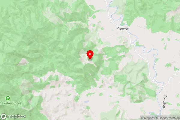
Far NorthPipiwai Region Map
Pipiwai Introduction
Pipiwai is a small settlement in Northland, New Zealand, located on the banks of the Hokianga River. It is known for its stunning natural scenery, including the famous Hokianga Falls, which is one of the tallest waterfalls in New Zealand. The village is also home to a number of cultural and historical sites, including the Pipiwai Track, a hiking trail that follows the banks of the Hokianga River and offers breathtaking views of the surrounding countryside. Pipiwai is a popular destination for tourists and outdoor enthusiasts, and it is surrounded by a number of natural attractions, including the Bay of Islands, the Waipoua Forest, and the Te Puke Gorge.Pipiwai Region
Pipiwai City
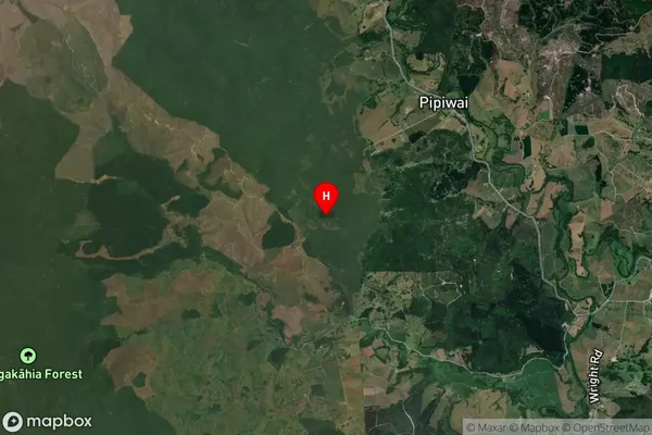
Pipiwai Satellite Map
Full Address
Pipiwai, Far North, NorthlandPipiwai Coordinates
-35.634692,173.999271 (Latitude / Longitude)Pipiwai Map in NZ
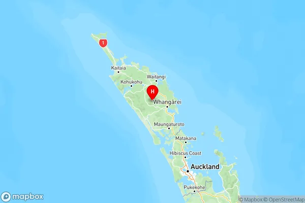
NZ Island
North IslandCountry
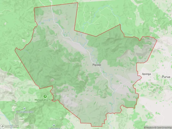
Pipiwai Area Map (Polygon)
Name
PipiwaiAdditional Name
Kaikou, MoengawahineLocal Authority
Far North District, Whangarei District
Pipiwai Suburbs (Sort by Population)
Pipiwai also known as Kaikou, Moengawahine. Pipiwai suburb has around
155.1 square
kilometers.There are more than 349 people (estimated)
live in Pipiwai, Whangarei, Northland, New Zealand.