Pipiwai Area, Pipiwai Postcode(0176) & Map in Pipiwai, Far North District
Pipiwai Area, Pipiwai Postcode(0176) & Map in Pipiwai, Far North District, Whangarei District, New Zealand
Pipiwai, Far North District, Whangarei District, New Zealand
Pipiwai Postcodes
Pipiwai Area (estimated)
155.1 square kilometersPipiwai Population (estimated)
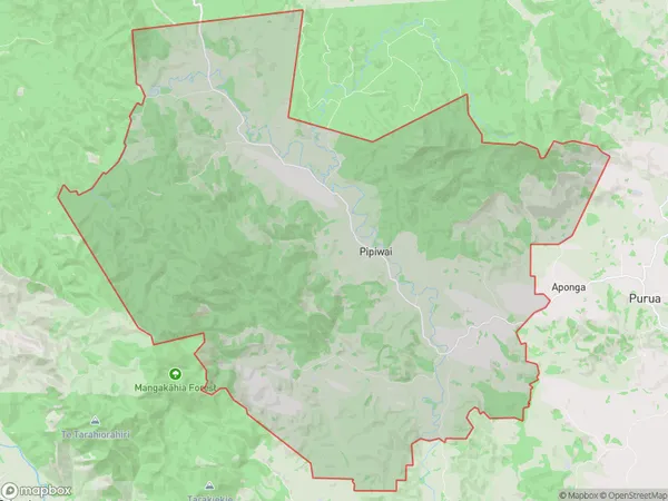
349 people live in Pipiwai, Northland, NZPipiwai Suburb Area Map (Polygon)
Pipiwai Introduction
Pipiwai is a forested walkway in Northland, New Zealand, that leads to a scenic waterfall. It is a popular tourist attraction and is part of the Whangarei Forest Park. The walkway is approximately 1.2 km long and takes about 45 minutes to complete. The forest is home to a variety of native plants and animals, including the Northland kauri, which is a species of tree that is endangered.Region
Major City
Suburb Name
PipiwaiOther Name(s)
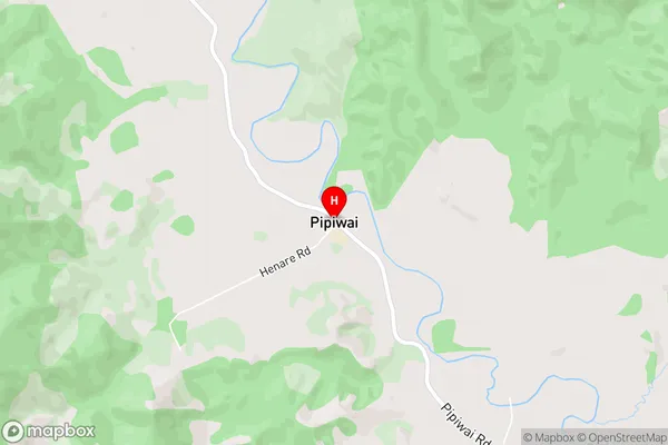
Kaikou, MoengawahinePipiwai Area Map (Street)
Local Authority
Far North District, Whangarei DistrictFull Address
Pipiwai, Far North District, Whangarei District, New ZealandAddress Type
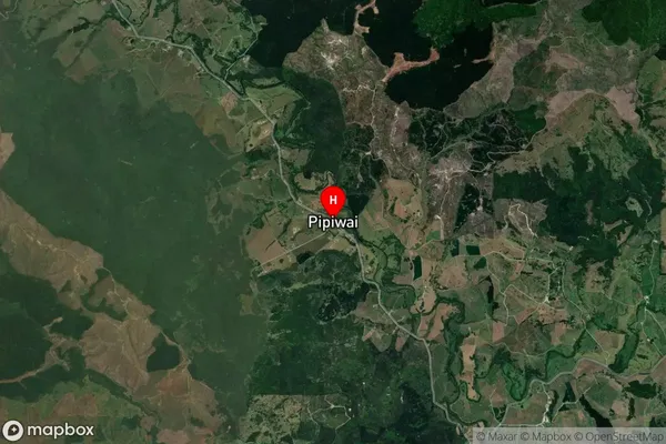
Locality in City WhangareiPipiwai Suburb Map (Satellite)
Country
Main Region in AU
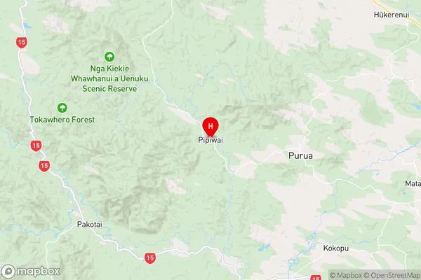
NorthlandPipiwai Region Map
Coordinates
-35.6199418,174.0178668 (latitude/longitude)Distances
The distance from Pipiwai, Whangarei, Far North District, Whangarei District to NZ Top 10 Cities