Kerepehi Suburbs & Region, Kerepehi Map & Postcodes in Kerepehi, Hauraki, Waikato
Kerepehi Postcodes, Kerepehi ZipCodes, Kerepehi , Kerepehi Waikato, Kerepehi Suburbs, Kerepehi Region, Kerepehi Map, Kerepehi Area
Kerepehi Region (Awaiti North Region)
Kerepehi Suburbs
Kerepehi is a suburb place type in Hauraki, Waikato, NZ. It contains 0 suburbs or localities.Kerepehi district
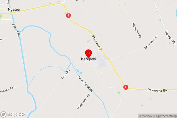
HaurakiKerepehi Region Map
Kerepehi Introduction
Kerepehi is a small town in Waikato, New Zealand, located on the banks of the Waikato River. It is known for its stunning natural beauty, with lush green forests, waterfalls, and a peaceful atmosphere. The town has a population of around 1,000 people and is a popular destination for outdoor enthusiasts, with many hiking and cycling trails nearby. Kerepehi also has a historic stone church and a community hall, which hosts regular events and gatherings. The town is surrounded by farmland and is a short drive from Hamilton, the largest city in the Waikato region.Kerepehi Region
Kerepehi City
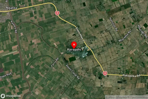
Kerepehi Satellite Map
Full Address
Kerepehi, Hauraki, WaikatoKerepehi Coordinates
-37.297196,175.544154 (Latitude / Longitude)Kerepehi Map in NZ
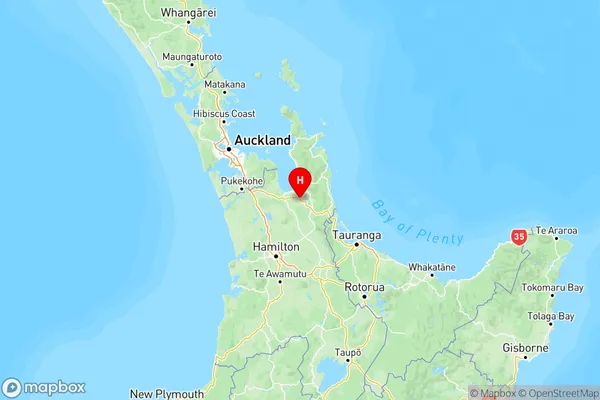
NZ Island
North IslandCountry
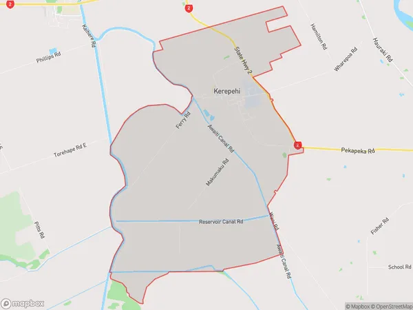
Kerepehi Area Map (Polygon)
Name
KerepehiAdditional Name
Awaiti NorthLocal Authority
Hauraki District
Kerepehi Suburbs (Sort by Population)
Kerepehi also known as Awaiti North. Kerepehi suburb has around
31.9 square
kilometers.There are more than 752 people (estimated)
live in Kerepehi, Paeroa, Waikato, New Zealand.