Opononi Suburbs & Region, Opononi Map & Postcodes in Opononi, Far North, Northland
Opononi Postcodes, Opononi ZipCodes, Opononi , Opononi Northland, Opononi Suburbs, Opononi Region, Opononi Map, Opononi Area
Opononi Region (Koutu, Motutoa, Pakanae Region)
Opononi Suburbs
Opononi is a suburb place type in Far North, Northland, NZ. It contains 1 suburbs or localities.Opononi Postcodes
Opononi district
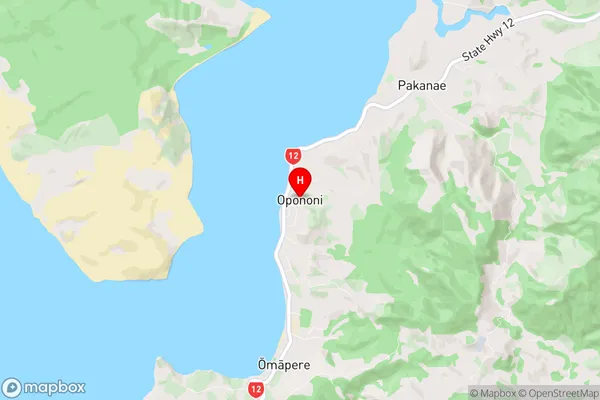
Far NorthOpononi Region Map
Opononi Introduction
Opononi is a small town on the west coast of Northland, New Zealand. It is known for its beautiful beaches, clear waters, and stunning natural scenery. The town is surrounded by lush rainforests and has a population of around 2,000 people. Opononi is a popular destination for tourists and has a variety of accommodation options, including hotels, motels, and holiday homes. The town also has a number of restaurants, cafes, and shops, as well as a community center and a library. Opononi is a great place to relax and enjoy the natural beauty of Northland, with its many outdoor activities and attractions.Opononi Region
Opononi City
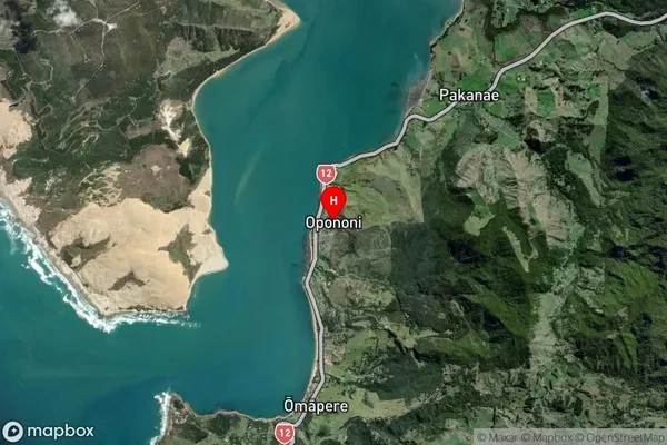
Opononi Satellite Map
Full Address
Opononi, Far North, NorthlandOpononi Coordinates
-35.511666,173.391729 (Latitude / Longitude)Opononi Map in NZ
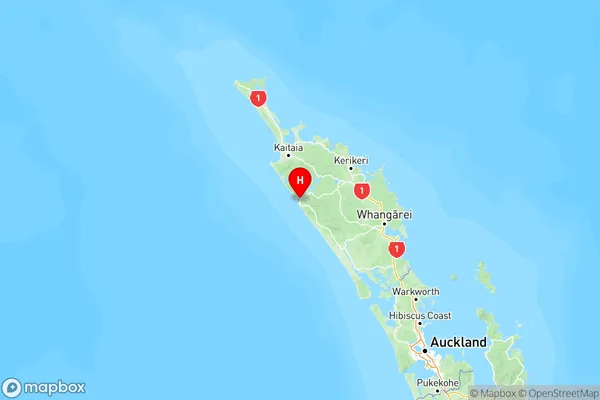
NZ Island
North IslandCountry
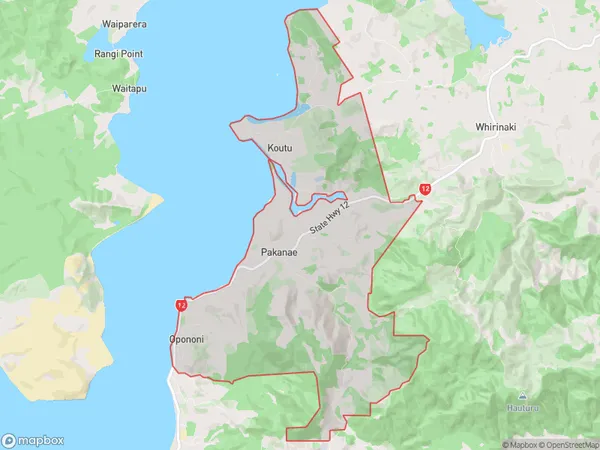
Opononi Area Map (Polygon)
Name
OpononiAdditional Name
Koutu, Motutoa, PakanaeLocal Authority
Far North District
Opononi Suburbs (Sort by Population)
Opononi
Opononi - 616