Opononi Area, Opononi Postcode(0444) & Map in Opononi
Opononi Area, Opononi Postcode(0444) & Map in Opononi, Far North District, New Zealand
Opononi, Far North District, New Zealand
Opononi Area (estimated)
25.4 square kilometersOpononi Population (estimated)
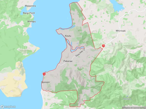
616 people live in Opononi, Kaikohe-Hokianga Community, NZOpononi Suburb Area Map (Polygon)
Opononi Introduction
Opononi is a small town on the Northland coast of New Zealand, known for its beautiful beaches, clear waters, and stunning natural scenery. It is a popular destination for tourists and outdoor enthusiasts, with a variety of activities to enjoy, including hiking, fishing, and kayaking. The town also has a rich cultural heritage, with a Maori population that has lived in the area for centuries.Region
Major City
Suburb Name
OpononiOther Name(s)
Koutu, Motutoa, PakanaeOpononi Area Map (Street)

Local Authority
Far North DistrictFull Address
Opononi, Far North District, New ZealandAddress Type
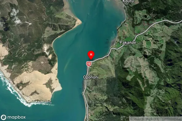
Locality in Major Locality OpononiOpononi Suburb Map (Satellite)
Country
Main Region in AU
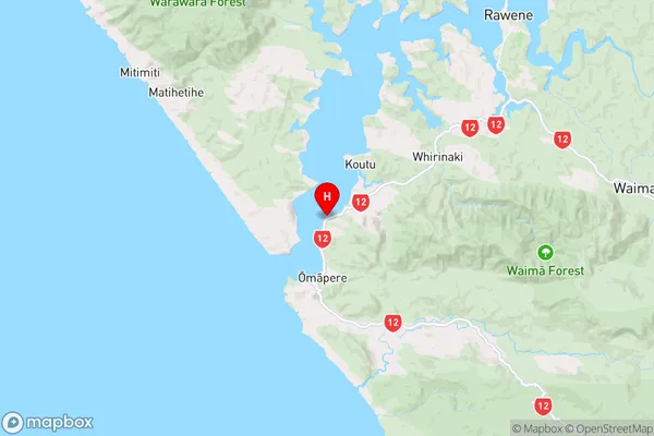
NorthlandOpononi Region Map
Coordinates
-35.5040062,173.3918153 (latitude/longitude)Distances
The distance from Opononi, Opononi, Far North District to NZ Top 10 Cities