Matata Suburbs & Region, Matata Map & Postcodes in Matata, Whakatane, Bay of Plenty
Matata Postcodes, Matata ZipCodes, Matata , Matata Bay of Plenty, Matata Suburbs, Matata Region, Matata Map, Matata Area
Matata Region
Matata Suburbs
Matata is a suburb place type in Whakatane, Bay of Plenty, NZ. It contains 2 suburbs or localities.Matata Postcodes
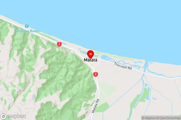
Matata Region Map
Matata Introduction
Matata is a small town in the Bay of Plenty region of New Zealand. It is located on the banks of the Matata River and is known for its historic buildings and scenic surroundings. The town has a population of around 1,000 people and is a popular destination for tourists and locals alike. The area is rich in history, with several important archaeological sites nearby. The town also has a variety of recreational facilities, including a golf course, a swimming pool, and a sports complex.Matata Region
Matata City
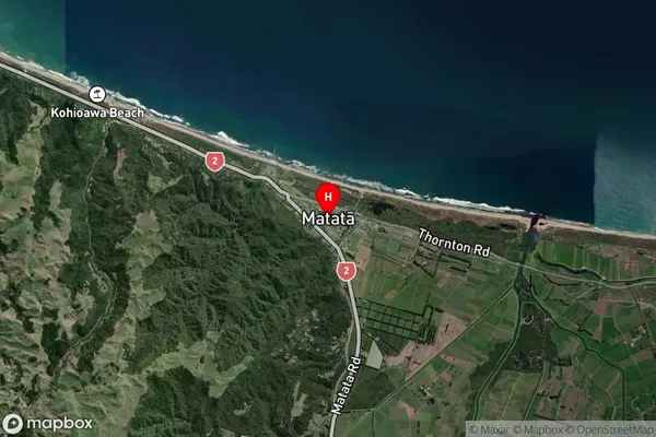
Matata Satellite Map
Full Address
Matata, Whakatane, Bay of PlentyMatata Coordinates
-37.889672,176.756458 (Latitude / Longitude)Matata Map in NZ
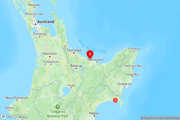
NZ Island
North IslandCountry
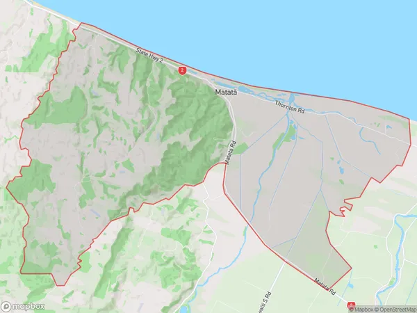
Matata Area Map (Polygon)
Name
MatataAdditional Name
Local Authority
Whakatane District