Pikowai Area, Pikowai Postcode(3120) & Map in Pikowai, Western Bay of Plenty District
Pikowai Area, Pikowai Postcode(3120) & Map in Pikowai, Western Bay of Plenty District, Whakatane District, New Zealand
Pikowai, Western Bay of Plenty District, Whakatane District, New Zealand
Pikowai Postcodes
Pikowai Area (estimated)
130.1 square kilometersPikowai Population (estimated)
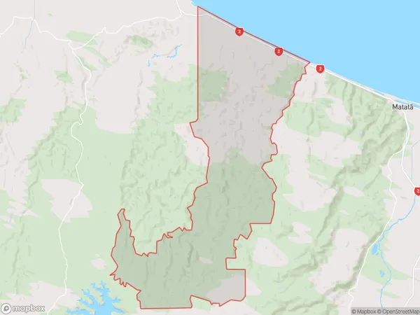
293 people live in Pikowai, Bay of Plenty, NZPikowai Suburb Area Map (Polygon)
Pikowai Introduction
Pikowai is a small rural community in the Bay of Plenty, New Zealand. It is known for its stunning natural scenery, including a waterfall and a picturesque forest. The community has a strong Māori culture and is home to a marae, a meeting house for Māori. Pikowai is also home to a primary school and a small supermarket. The community is surrounded by farmland and has a peaceful and relaxed atmosphere.Region
Major City
Suburb Name
PikowaiOther Name(s)
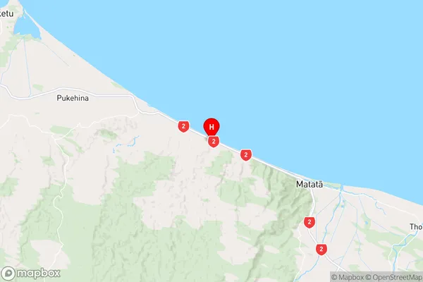
Hauone, RotoitiPikowai Area Map (Street)

Local Authority
Western Bay of Plenty District, Whakatane DistrictFull Address
Pikowai, Western Bay of Plenty District, Whakatane District, New ZealandAddress Type
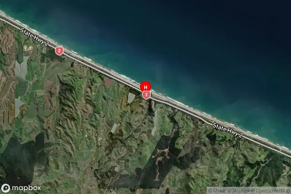
Locality in Town MatataPikowai Suburb Map (Satellite)
Country
Main Region in AU
Bay of PlentyPikowai Region Map
Coordinates
-37.8564458,176.6611391 (latitude/longitude)Distances
The distance from Pikowai, Matata, Western Bay of Plenty District, Whakatane District to NZ Top 10 Cities