Matata Area, Matata Postcode(3194) & Map in Matata
Matata Area, Matata Postcode(3194) & Map in Matata, Whakatane District, New Zealand
Matata, Whakatane District, New Zealand
Matata Area (estimated)
122.5 square kilometersMatata Population (estimated)
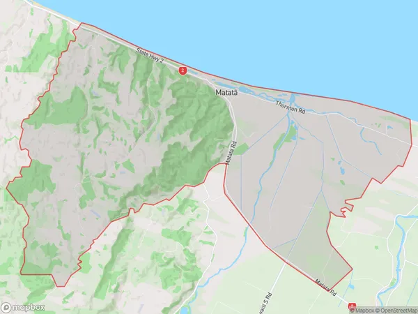
1317 people live in Matata, Bay of Plenty, NZMatata Suburb Area Map (Polygon)
Matata Introduction
Matata is a small town in the Bay of Plenty region of New Zealand. It is known for its historic railway station and the nearby Matata Winery, which produces a range of wines. The town also has a popular beach and a golf course. Matata is a popular destination for tourists and locals alike, with its relaxed atmosphere and scenic surroundings.Region
Major City
Suburb Name
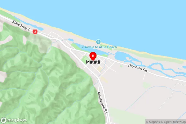
Matata (Maori Name: Matatā)Matata Area Map (Street)
Local Authority
Whakatane DistrictFull Address
Matata, Whakatane District, New ZealandAddress Type
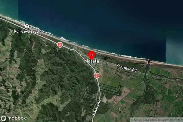
Locality in Town MatataMatata Suburb Map (Satellite)
Country
Main Region in AU
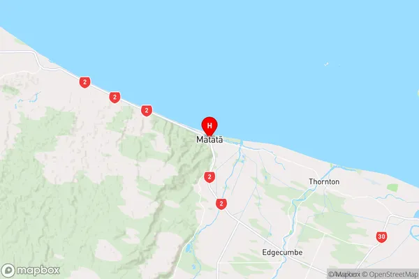
Bay of PlentyMatata Region Map
Coordinates
-37.8896723,176.7564582 (latitude/longitude)Distances
The distance from Matata, Matata, Whakatane District to NZ Top 10 Cities