Wainui Suburbs & Region, Wainui Map & Postcodes in Wainui, Western Bay Of Plenty, Bay of Plenty
Wainui Postcodes, Wainui ZipCodes, Wainui , Wainui Bay of Plenty, Wainui Suburbs, Wainui Region, Wainui Map, Wainui Area
Wainui Region (Ohae Region)
Wainui Suburbs
Wainui is a suburb place type in Western Bay Of Plenty, Bay of Plenty, NZ. It contains 1 suburbs or localities.Wainui Postcodes
Wainui district
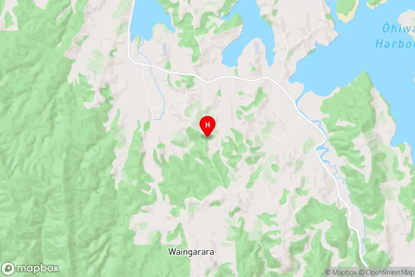
Western Bay Of PlentyWainui Region Map
Wainui Introduction
Wainui is a small township on the eastern coast of the Bay of Plenty in New Zealand. It is situated about 45 minutes drive from Tauranga and 2 hours drive from Auckland. Wainui is known for its beautiful beaches, including Wainui Beach, which is a popular spot for swimming, surfing, and fishing. The township also has a golf course, a bowling club, and a variety of shops and restaurants. Wainui is surrounded by stunning natural scenery, including Mount Maunganui, the Bay of Plenty, and the Papamoa Hills. The area is popular with tourists and has a growing population due to its relaxed lifestyle and affordable housing.Wainui Region
Wainui City
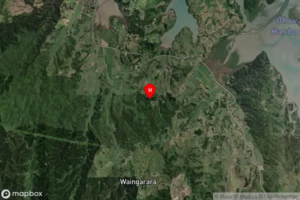
Wainui Satellite Map
Full Address
Wainui, Western Bay Of Plenty, Bay of PlentyWainui Coordinates
-38.030974,177.080262 (Latitude / Longitude)Wainui Map in NZ
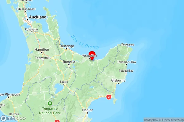
NZ Island
North IslandCountry
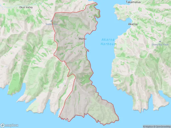
Wainui Area Map (Polygon)
Name
WainuiAdditional Name
OhaeLocal Authority
Christchurch City
Wainui Suburbs (Sort by Population)
Wainui
Wainui - 2177