Wainui Area, Wainui Postcode(5010) & Map in Wainui
Wainui Area, Wainui Postcode(5010) & Map in Wainui, Auckland, New Zealand
Wainui, Auckland, New Zealand
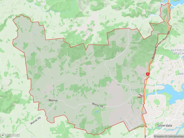
Wainui Postcodes
Wainui Area (estimated)
66.0 square kilometersWainui Population (estimated)
2177 people live in Wainui, Lower Hutt, NZWainui Suburb Area Map (Polygon)
Wainui Introduction
Wainui is a suburb of Wellington, New Zealand, located on the southern coast of the North Island. It is known for its beautiful beaches, stunning coastal views, and vibrant community. The area is popular with families and outdoor enthusiasts, with many walking and cycling trails nearby. Wainui also has a popular shopping district with a variety of stores and restaurants.Region
Major City
Suburb Name
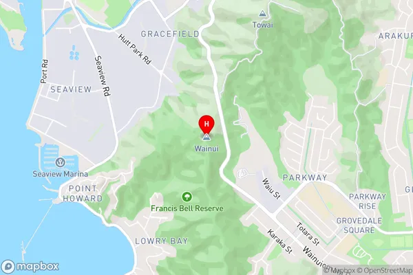
WainuiWainui Area Map (Street)
Local Authority
AucklandFull Address
Wainui, Auckland, New ZealandAddress Type
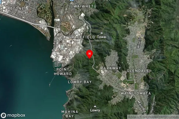
Locality in Town WainuiWainui Suburb Map (Satellite)
Country
Main Region in AU
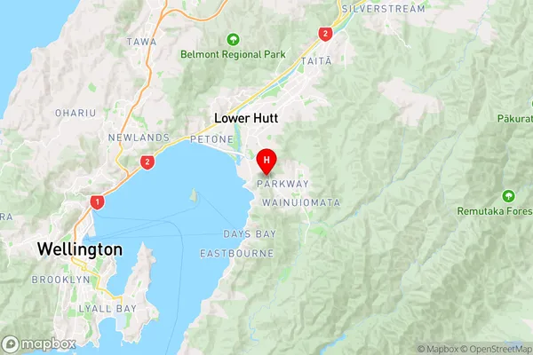
WellingtonWainui Region Map
Coordinates
-41.2471036,174.9215055 (latitude/longitude)Distances
The distance from Wainui, Wainui, Auckland to NZ Top 10 Cities