Ngawha Springs Suburbs & Region, Ngawha Springs Map & Postcodes in Ngawha Springs, Far North, Northland
Ngawha Springs Postcodes, Ngawha Springs ZipCodes, Ngawha Springs , Ngawha Springs Northland, Ngawha Springs Suburbs, Ngawha Springs Region, Ngawha Springs Map, Ngawha Springs Area
Ngawha Springs Region
Ngawha Springs Suburbs
Ngawha Springs is a suburb place type in Far North, Northland, NZ. It contains 0 suburbs or localities.Ngawha Springs district
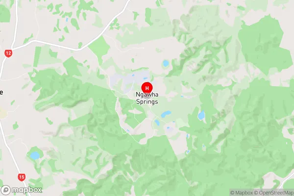
Far NorthNgawha Springs Region Map
Ngawha Springs Introduction
Ngawha Springs is a natural hot spring and geothermal area located in Northland, New Zealand. It is known for its clear and warm water, which flows from underground at a temperature of around 60°C. The springs have been used for therapeutic purposes since the early 1900s and are a popular tourist attraction. The area also features a number of walking tracks, a picnic area, and a visitors center. Ngawha Springs is located in the Kaikohe District of Northland and is accessible by road from Kaikohe or by air from Auckland.Ngawha Springs Region
Ngawha Springs City
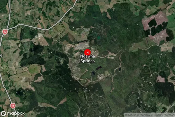
Ngawha Springs Satellite Map
Full Address
Ngawha Springs, Far North, NorthlandNgawha Springs Coordinates
-35.408683,173.859778 (Latitude / Longitude)Ngawha Springs Map in NZ
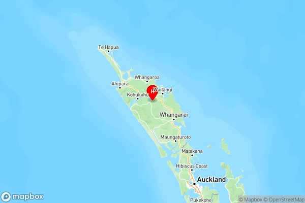
NZ Island
North IslandCountry