Ngakuru Suburbs & Region, Ngakuru Map & Postcodes in Ngakuru, Rotorua, Bay of Plenty
Ngakuru Postcodes, Ngakuru ZipCodes, Ngakuru , Ngakuru Bay of Plenty, Ngakuru Suburbs, Ngakuru Region, Ngakuru Map, Ngakuru Area
Ngakuru Region
Ngakuru Suburbs
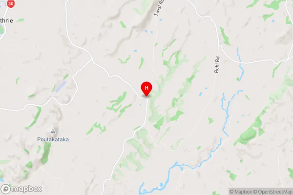
Ngakuru is a suburb place type in Rotorua, Bay of Plenty, NZ. It contains 0 suburbs or localities.Ngakuru Region Map
Ngakuru Introduction
Ngakuru is a small town located in the Bay of Plenty region of New Zealand. It is known for its stunning natural beauty, including the Ngakuru Ranges and the Ngakuru Forest Park. The town has a population of around 1,000 people and is a popular destination for outdoor activities such as hiking, mountain biking, and fishing. Ngakuru also has a rich cultural heritage, with a number of historic buildings and sites, including the Ngakuru Marae, which is a significant meeting place for the local Maori community.Ngakuru Region
Ngakuru City
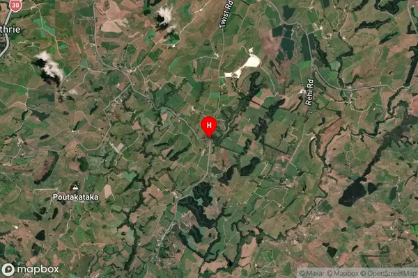
Ngakuru Satellite Map
Full Address
Ngakuru, Rotorua, Bay of PlentyNgakuru Coordinates
-38.3046287,176.2019398 (Latitude / Longitude)Ngakuru Map in NZ
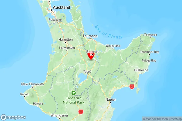
NZ Island
North IslandCountry