Ngakuru Area, Ngakuru Postcode(3077) & Map in Ngakuru
Ngakuru Area, Ngakuru Postcode(3077) & Map in Ngakuru, Rotorua District, New Zealand
Ngakuru, Rotorua District, New Zealand
Ngakuru Postcodes
Ngakuru Area (estimated)
132.4 square kilometersNgakuru Population (estimated)
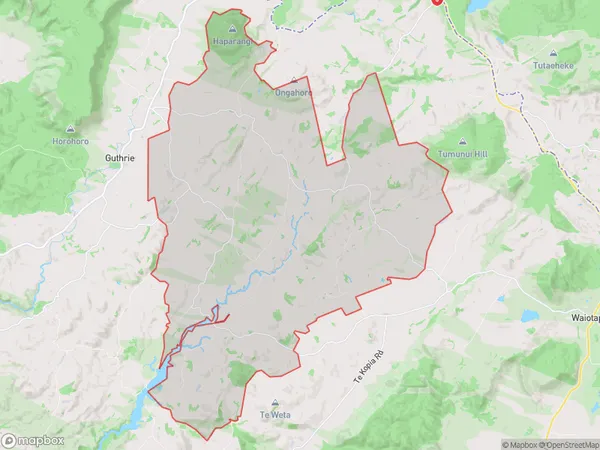
708 people live in Ngakuru, Waikato, NZNgakuru Suburb Area Map (Polygon)
Ngakuru Introduction
Ngakuru is a small town in Waikato, New Zealand, with a population of around 10,000 people. It is known for its stunning natural scenery, including the Ngakuru Ranges and the Ngakuru Forest Park. The town is also home to the Ngakuru Boomerang, a traditional Maori weapon. Ngakuru is a popular destination for outdoor activities such as hiking, cycling, and fishing, and is also home to several popular tourist attractions, including the Ngakuru Bird Sanctuary and the Ngakuru Rock.Region
Major City
Suburb Name
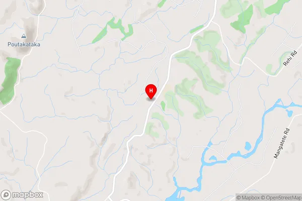
NgakuruNgakuru Area Map (Street)
Local Authority
Rotorua DistrictFull Address
Ngakuru, Rotorua District, New ZealandAddress Type
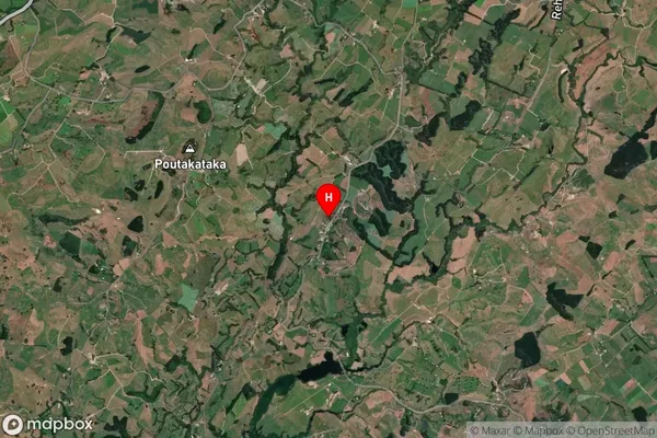
Locality in Town NgakuruNgakuru Suburb Map (Satellite)
Country
Main Region in AU
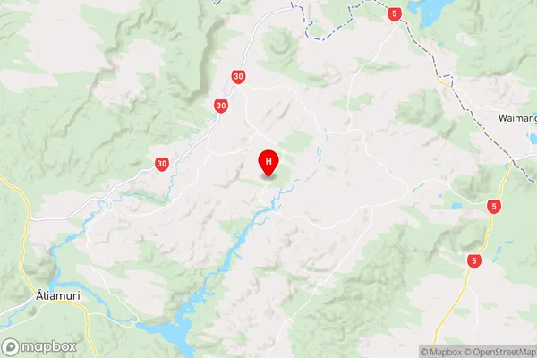
WaikatoNgakuru Region Map
Coordinates
-38.3226296,176.1907219 (latitude/longitude)Distances
The distance from Ngakuru, Ngakuru, Rotorua District to NZ Top 10 Cities