Waikite Valley Area, Waikite Valley Postcode & Map in Waikite Valley
Waikite Valley Area, Waikite Valley Postcode & Map in Waikite Valley, Rotorua District, New Zealand
Waikite Valley, Rotorua District, New Zealand
Waikite Valley Area (estimated)
130.5 square kilometersWaikite Valley Population (estimated)
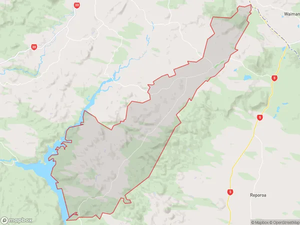
361 people live in Waikite Valley, Waikato, NZWaikite Valley Suburb Area Map (Polygon)
Waikite Valley Introduction
Waikite Valley is a picturesque rural community located in Ngakuru, Waikato, New Zealand. It is known for its stunning natural scenery, including rolling hills, lush green fields, and the Waikite River. The area is popular with outdoor enthusiasts and offers a range of activities such as hiking, cycling, fishing, and hunting. The village has a small population of around 100 people and is surrounded by picturesque farmland. It is also home to a number of historic buildings, including the Waikite Valley School, which was established in 1878.Region
Major City
Suburb Name
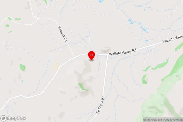
Waikite ValleyWaikite Valley Area Map (Street)
Local Authority
Rotorua DistrictFull Address
Waikite Valley, Rotorua District, New ZealandAddress Type
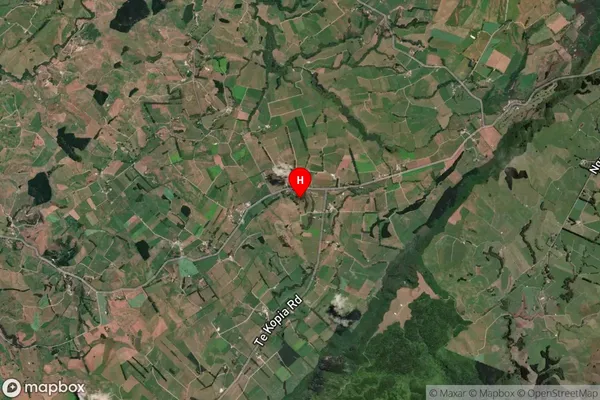
Locality in Town NgakuruWaikite Valley Suburb Map (Satellite)
Country
Main Region in AU
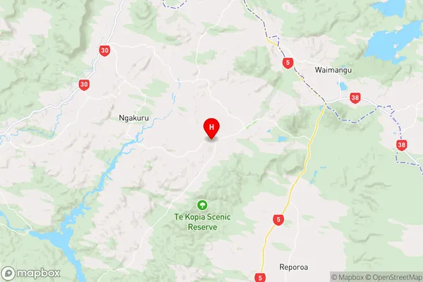
WaikatoWaikite Valley Region Map
Coordinates
-38.340292,176.2664509 (latitude/longitude)Distances
The distance from Waikite Valley, Ngakuru, Rotorua District to NZ Top 10 Cities