Mamaku Suburbs & Region, Mamaku Map & Postcodes in Mamaku, Rotorua, Bay of Plenty
Mamaku Postcodes, Mamaku ZipCodes, Mamaku , Mamaku Bay of Plenty, Mamaku Suburbs, Mamaku Region, Mamaku Map, Mamaku Area
Mamaku Region
Mamaku Suburbs
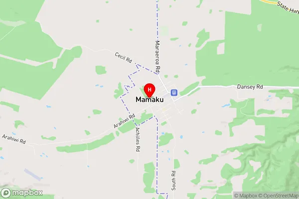
Mamaku is a suburb place type in Rotorua, Bay of Plenty, NZ. It contains 2 suburbs or localities.Mamaku Region Map
Mamaku Introduction
Mamaku is a small rural town in the Bay of Plenty region of New Zealand. It is situated on the eastern coast of the North Island, approximately 200 kilometers southeast of Auckland. The town is known for its scenic surroundings, including the Mamaku Forest, a large area of native forest that is home to a variety of bird species and other wildlife. The town also has a popular beach, known as Whakatane Beach, which is a popular destination for tourists and locals alike.Mamaku Region
Mamaku City
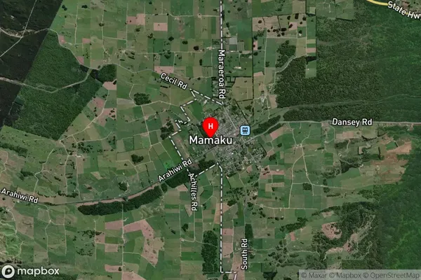
Mamaku Satellite Map
Full Address
Mamaku, Rotorua, Bay of PlentyMamaku Coordinates
-38.095956,176.073494 (Latitude / Longitude)Mamaku Map in NZ
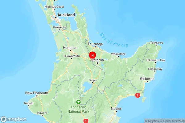
NZ Island
North IslandCountry
Mamaku Area Map (Polygon)

Name
MamakuAdditional Name
Local Authority
Rotorua District