Ngatira Area, Ngatira Postcode(3482) & Map in Ngatira
Ngatira Area, Ngatira Postcode(3482) & Map in Ngatira, South Waikato District, New Zealand
Ngatira, South Waikato District, New Zealand
Ngatira Postcodes
Ngatira Area (estimated)
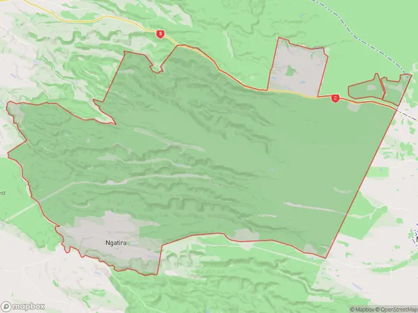
158.8 square kilometersNgatira Population (estimated)
86 people live in Ngatira, Waikato, NZNgatira Suburb Area Map (Polygon)
Ngatira Introduction
Ngatira is a small rural community in the Waikato region of New Zealand. It is located on State Highway 1, approximately 30 kilometers south of Hamilton. The community has a population of around 100 people and is known for its scenic surroundings and traditional Maori culture. Ngatira has a primary school, a post office, and a small community hall. The area is popular with outdoor enthusiasts, with many walking and cycling trails nearby. The nearby Mamaku Forest is a significant conservation area, home to a variety of plant and animal species.Region
Major City
Suburb Name
NgatiraOther Name(s)
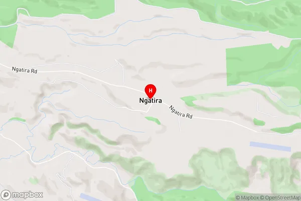
North PutaruruNgatira Area Map (Street)
Local Authority
South Waikato DistrictFull Address
Ngatira, South Waikato District, New ZealandAddress Type
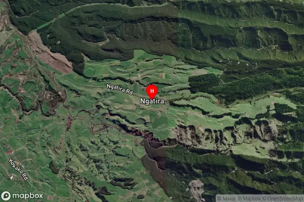
Locality in Town MamakuNgatira Suburb Map (Satellite)
Country
Main Region in AU
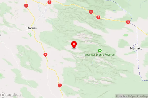
WaikatoNgatira Region Map
Coordinates
-38.0974495,175.9004259 (latitude/longitude)Distances
The distance from Ngatira, Mamaku, South Waikato District to NZ Top 10 Cities