Mamaku Area, Mamaku Postcode(3020) & Map in Mamaku
Mamaku Area, Mamaku Postcode(3020) & Map in Mamaku, Rotorua District, New Zealand
Mamaku, Rotorua District, New Zealand
Mamaku Area (estimated)
92.8 square kilometersMamaku Population (estimated)
1140 people live in Mamaku, Bay of Plenty, NZMamaku Suburb Area Map (Polygon)

Mamaku Introduction
Mamaku is a small rural town in the Bay of Plenty, New Zealand. It is known for its stunning natural scenery, including waterfalls, forests, and hot springs. The town has a population of around 1,000 people and is located on the banks of the Mamaku River. It is a popular destination for outdoor enthusiasts and tourists, with many hiking and biking trails nearby. The town also has a community hall, a library, and a small supermarket.Region
Major City
Suburb Name
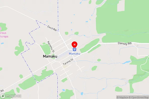
MamakuMamaku Area Map (Street)
Local Authority
Rotorua DistrictFull Address
Mamaku, Rotorua District, New ZealandAddress Type
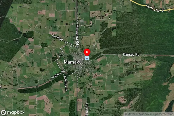
Suburb in Town MamakuMamaku Suburb Map (Satellite)
Country
Main Region in AU
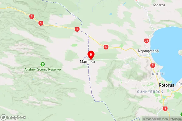
Bay of PlentyMamaku Region Map
Coordinates
-38.0940997,176.0819545 (latitude/longitude)Distances
The distance from Mamaku, Mamaku, Rotorua District to NZ Top 10 Cities