Matauri Bay Suburbs & Region, Matauri Bay Map & Postcodes in Matauri Bay, Far North, Northland
Matauri Bay Postcodes, Matauri Bay ZipCodes, Matauri Bay , Matauri Bay Northland, Matauri Bay Suburbs, Matauri Bay Region, Matauri Bay Map, Matauri Bay Area
Matauri Bay Region (Tepene Region)
Matauri Bay Suburbs
Matauri Bay is a suburb place type in Far North, Northland, NZ. It contains 0 suburbs or localities.Matauri Bay district
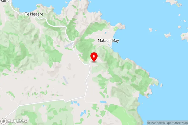
Far NorthMatauri Bay Region Map

Matauri Bay Introduction
Matauri Bay is a picturesque bay located in the Far North District of New Zealand's North Island. It is known for its stunning natural beauty, including crystal-clear waters, white sandy beaches, and rugged cliffs. The bay is a popular destination for tourists and locals alike, with many opportunities for swimming, fishing, and hiking. The bay is also home to a small community of people who live in traditional Maori huts. Matauri Bay is surrounded by a range of stunning natural landscapes, including the Cape Reinga and the Paihia Peninsula. The bay is also a significant cultural site for the Maori people, with many important archaeological sites located nearby.Matauri Bay Region
Matauri Bay City
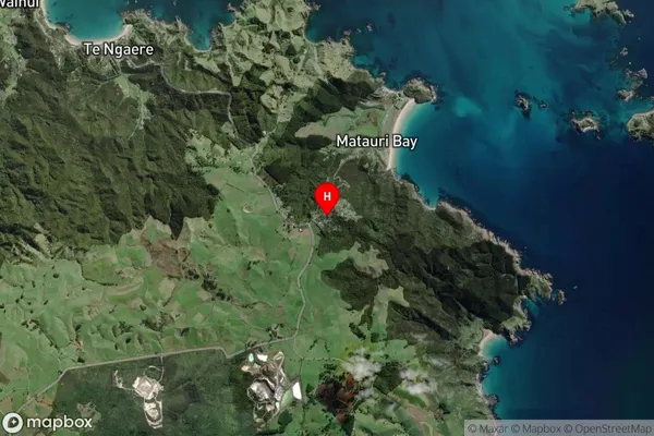
Matauri Bay Satellite Map

Full Address
Matauri Bay, Far North, NorthlandMatauri Bay Coordinates
-35.043833,173.903304 (Latitude / Longitude)Matauri Bay Map in NZ

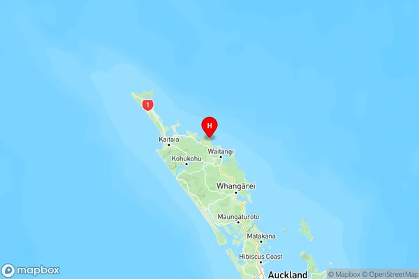
NZ Island
North IslandCountry
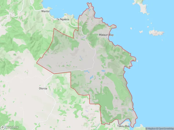
Matauri Bay Area Map (Polygon)

Name
Matauri BayAdditional Name
TepeneLocal Authority
Far North District
Matauri Bay Suburbs (Sort by Population)
Matauri Bay also known as Tepene. Matauri Bay suburb has around
50.7 square
kilometers.There are more than 318 people (estimated)
live in Matauri Bay, Bay of Islands-Whangaroa Community, Northland, New Zealand.