Hamurana Suburbs & Region, Hamurana Map & Postcodes in Hamurana, Rotorua, Bay of Plenty
Hamurana Postcodes, Hamurana ZipCodes, Hamurana , Hamurana Bay of Plenty, Hamurana Suburbs, Hamurana Region, Hamurana Map, Hamurana Area
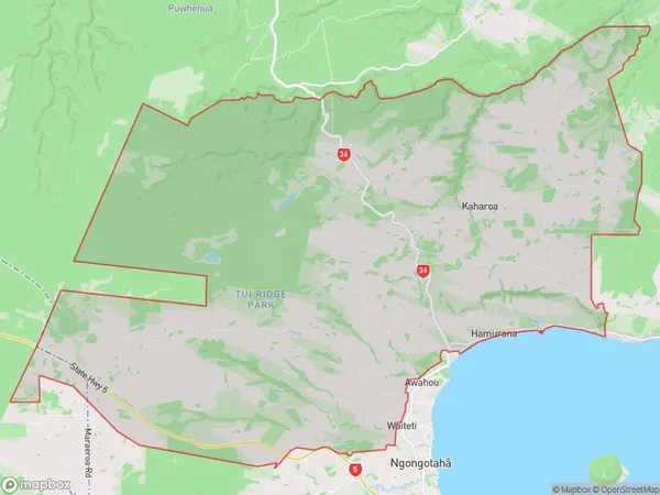
Hamurana Region (Kaharoa, Oturoa, Rotoiti, Rotongata, Tarukenga, Te Pu, Waiteti Region)
Hamurana Suburbs
Hamurana is a suburb place type in Rotorua, Bay of Plenty, NZ. It contains 2 suburbs or localities.Hamurana Region Map
Hamurana Introduction
Hamurana is a small town in the Bay of Plenty region of New Zealand. It is situated on the eastern coast of the North Island, about 20 kilometers south of Tauranga and 120 kilometers north of Auckland. The town is known for its beautiful beaches, scenic surroundings, and relaxed atmosphere. It is a popular destination for tourists and locals alike, with many activities to enjoy, including fishing, hiking, surfing, and swimming. The town also has a number of historic buildings, including a former courthouse and a church.Hamurana Region
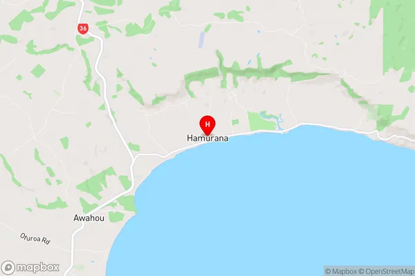
Hamurana City
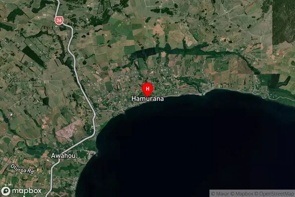
Hamurana Satellite Map
Full Address
Hamurana, Rotorua, Bay of PlentyHamurana Coordinates
-38.035615,176.241317 (Latitude / Longitude)Hamurana Map in NZ
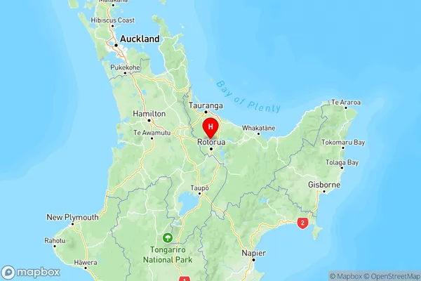
NZ Island
North IslandCountry
Hamurana Area Map (Polygon)
Name
HamuranaAdditional Name
Kaharoa, Oturoa, Rotoiti, Rotongata, Tarukenga, Te Pu, WaitetiLocal Authority
Rotorua District