Hamurana Area, Hamurana Postcode(3096) & Map in Hamurana
Hamurana Area, Hamurana Postcode(3096) & Map in Hamurana, Rotorua District, New Zealand
Hamurana, Rotorua District, New Zealand
Hamurana Postcodes
Hamurana Area (estimated)
254.5 square kilometersHamurana Population (estimated)
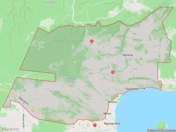
2847 people live in Hamurana, Bay of Plenty, NZHamurana Suburb Area Map (Polygon)
Hamurana Introduction
Hamurana is a small town in the Bay of Plenty, New Zealand. It is known for its hot springs and natural beauty, and is a popular destination for tourists. The town has a population of around 1,000 people and is located on the shores of Lake Rotorua. The area was first settled by Māori tribes in the 13th century, and the town was founded in the 1880s by European settlers.Region
Major City
Suburb Name
HamuranaOther Name(s)
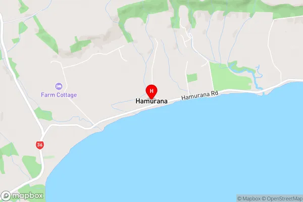
Kaharoa, Oturoa, Rotoiti, Rotongata, Tarukenga, Te Pu, WaitetiHamurana Area Map (Street)
Local Authority
Rotorua DistrictFull Address
Hamurana, Rotorua District, New ZealandAddress Type
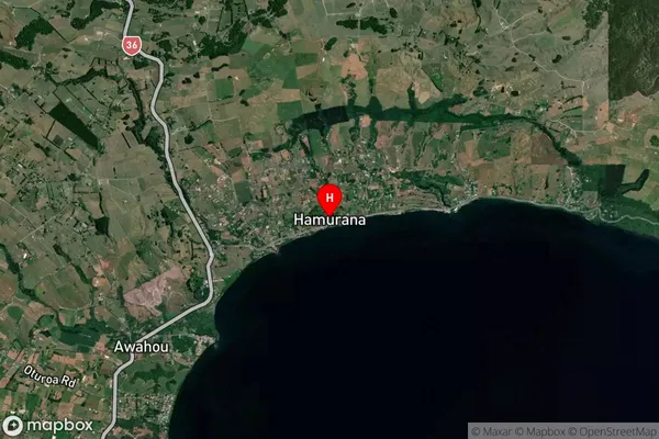
Locality in Town HamuranaHamurana Suburb Map (Satellite)
Country
Main Region in AU
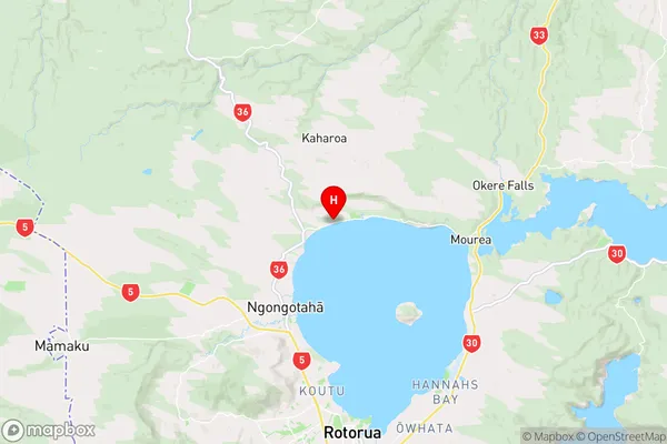
Bay of PlentyHamurana Region Map
Coordinates
-38.0356154,176.2413166 (latitude/longitude)Distances
The distance from Hamurana, Hamurana, Rotorua District to NZ Top 10 Cities