Ngawaro Area, Ngawaro Postcode(3188) & Map in Ngawaro
Ngawaro Area, Ngawaro Postcode(3188) & Map in Ngawaro, Western Bay of Plenty District, New Zealand
Ngawaro, Western Bay of Plenty District, New Zealand
Ngawaro Postcodes
Ngawaro Area (estimated)
164.7 square kilometersNgawaro Population (estimated)
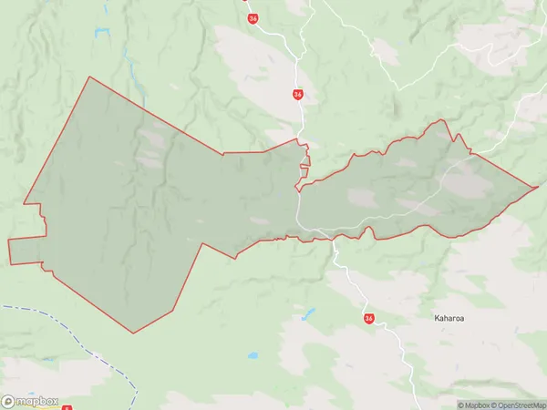
75 people live in Ngawaro, Bay of Plenty, NZNgawaro Suburb Area Map (Polygon)
Ngawaro Introduction
Ngawaro, Hamurana, Bay of Plenty, NZ, is a small rural community with a population of around 100 people. It is located on the banks of the Ngawaro River and is known for its beautiful natural surroundings, including lush forests, waterfalls, and hot springs. The community is also home to a number of historic buildings, including a church and a school. Ngawaro is a popular destination for tourists and outdoor enthusiasts, who enjoy hiking, fishing, and kayaking in the nearby rivers and forests.Region
Major City
Suburb Name
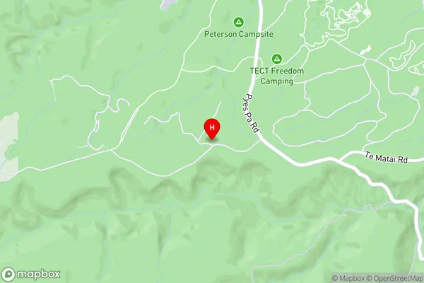
NgawaroNgawaro Area Map (Street)
Local Authority
Western Bay of Plenty DistrictFull Address
Ngawaro, Western Bay of Plenty District, New ZealandAddress Type
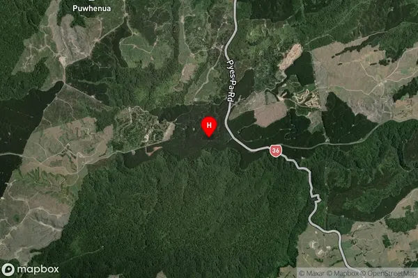
Locality in Town HamuranaNgawaro Suburb Map (Satellite)
Country
Main Region in AU
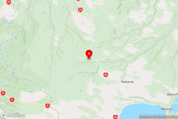
Bay of PlentyNgawaro Region Map
Coordinates
-37.9542566,176.1465454 (latitude/longitude)Distances
The distance from Ngawaro, Hamurana, Western Bay of Plenty District to NZ Top 10 Cities