Kohukohu Suburbs & Region, Kohukohu Map & Postcodes in Kohukohu, Far North, Northland
Kohukohu Postcodes, Kohukohu ZipCodes, Kohukohu , Kohukohu Northland, Kohukohu Suburbs, Kohukohu Region, Kohukohu Map, Kohukohu Area
Kohukohu Region (Mata, Motukaraka, Rangiora, Te Huahua, Te Karae, Urungaio Region)
Kohukohu Suburbs
Kohukohu is a city place type in Far North, Northland, NZ. It contains 3 suburbs or localities.Kohukohu Postcodes
Kohukohu district
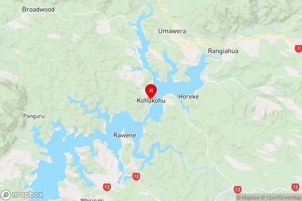
Far NorthKohukohu Region Map
Kohukohu Introduction
Kohukohu is a small settlement in Northland, New Zealand. It is located on the banks of the Kohukohu River, about 12 km south of Kaitaia. The settlement has a population of around 100 people and is known for its scenic surroundings and traditional Maori culture. The area is popular with tourists and outdoor enthusiasts, who enjoy activities such as hiking, fishing, and kayaking. The nearby Kohukohu Forest Park is a significant conservation area, home to a variety of plant and animal species.Kohukohu Region
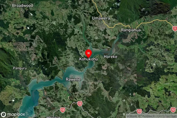
Kohukohu Satellite Map
Full Address
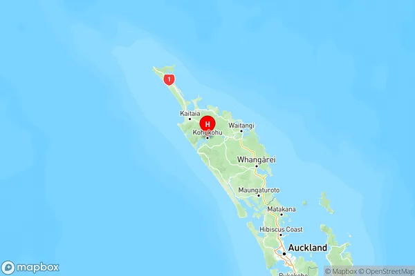
Kohukohu, Far North, NorthlandKohukohu Coordinates
-35.36124,173.54204 (Latitude / Longitude)Kohukohu Map in NZ
NZ Island
North IslandCountry
Kohukohu Area Map (Polygon)
Not available for nowName
KohukohuAdditional Name
Mata, Motukaraka, Rangiora, Te Huahua, Te Karae, UrungaioLocal Authority
Far North District