Panguru Suburbs & Region, Panguru Map & Postcodes in Panguru, Kohukohu, Northland
Panguru Postcodes, Panguru ZipCodes, Panguru , Panguru Northland, Panguru Suburbs, Panguru Region, Panguru Map, Panguru Area
Panguru Region (Lower Waihou, Matawhera, Motukauri, Motuti, Puhau, Punehu, Rangi Point, Tapuwae, Te Karaka, Waiparera, Waireia, Waitapu Region)
Panguru Suburbs
Panguru is a suburb place type in Kohukohu, Northland, NZ. It contains 2 suburbs or localities.Panguru Postcodes
Panguru district
Far NorthPanguru Introduction
Panguru is a small settlement in Northland, New Zealand. It is located on the banks of the Hokianga River, approximately 120 kilometers north of Whangarei. The settlement is known for its scenic surroundings, including the Hokianga Harbour and the surrounding forested hills. Panguru is a popular destination for outdoor activities such as hiking, fishing, and kayaking. The community has a primary school and a small supermarket. There are also several guesthouses and holiday homes in the area, catering to tourists. Panguru is surrounded by beautiful natural scenery and has a relaxed and peaceful atmosphere. It is an ideal place to escape the hustle and bustle of city life and enjoy the outdoors.Panguru Region
Panguru City
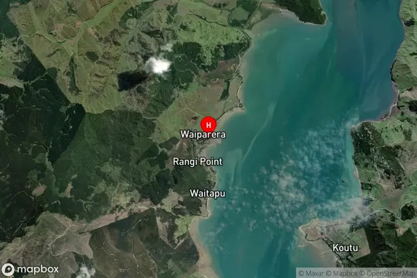
Panguru Satellite Map

Full Address
Panguru, Kohukohu, NorthlandPanguru Coordinates
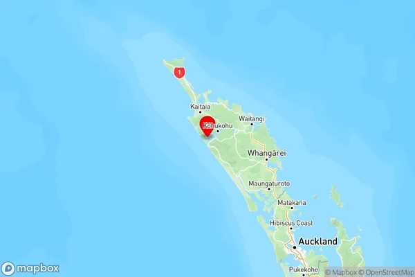
-35.45458,173.37904 (Latitude / Longitude)Panguru Map in NZ

NZ Island
North IslandCountry
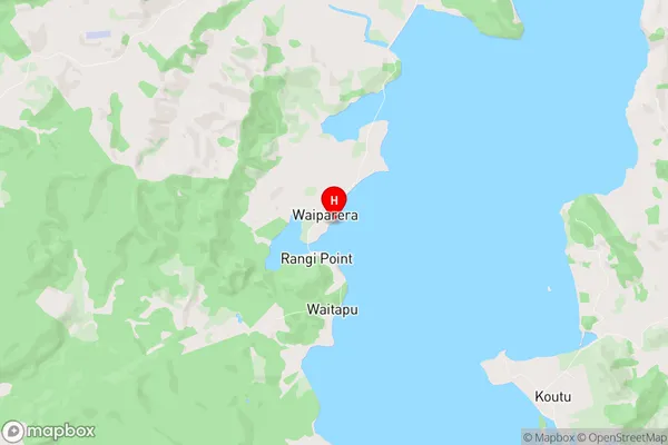
Panguru Area Map (Polygon)
Not available for nowName
PanguruAdditional Name
Lower Waihou, Matawhera, Motukauri, Motuti, Puhau, Punehu, Rangi Point, Tapuwae, Te Karaka, Waiparera, Waireia, WaitapuLocal Authority
Far North District
