Kohukohu Area, Kohukohu Postcode(0453) & Map in Kohukohu
Kohukohu Area, Kohukohu Postcode(0453) & Map in Kohukohu, Far North District, New Zealand
Kohukohu, Far North District, New Zealand
Kohukohu Postcodes
Kohukohu Area (estimated)
-1.2 square kilometersKohukohu Population (estimated)
570 people live in Kohukohu, Kaikohe-Hokianga Community, NZKohukohu Suburb Area Map (Polygon)
Not available for nowKohukohu Introduction
Kohukohu is a small rural community in Northland, New Zealand. It is located on the banks of the Kohukohu River and is known for its scenic beauty and peaceful atmosphere. The community has a population of around 50 people and is home to a variety of native plants and animals. The area is popular with tourists and outdoor enthusiasts who enjoy hiking, fishing, and kayaking in the nearby rivers and forests.Region
Major City
Suburb Name
KohukohuOther Name(s)
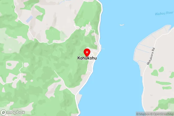
Mata, Motukaraka, Rangiora, Te Huahua, Te Karae, UrungaioKohukohu Area Map (Street)
Local Authority
Far North DistrictFull Address
Kohukohu, Far North District, New ZealandAddress Type
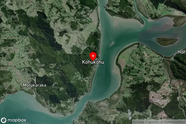
Locality in Major Locality KohukohuKohukohu Suburb Map (Satellite)
Country
Main Region in AU
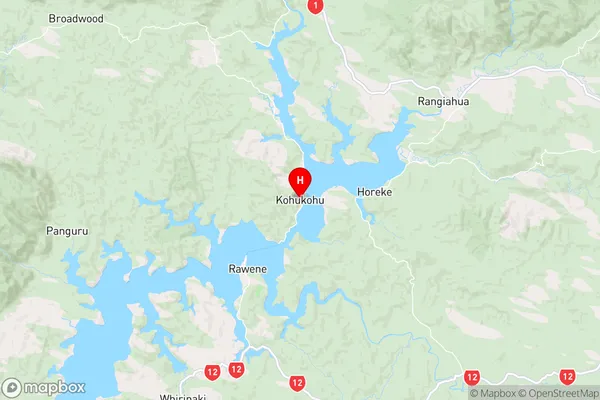
NorthlandKohukohu Region Map
Coordinates
-35.3612403,173.5420401 (latitude/longitude)Distances
The distance from Kohukohu, Kohukohu, Far North District to NZ Top 10 Cities