Kerikeri Suburbs & Region, Kerikeri Map & Postcodes in Kerikeri, Far North, Northland
Kerikeri Postcodes, Kerikeri ZipCodes, Kerikeri , Kerikeri Northland, Kerikeri Suburbs, Kerikeri Region, Kerikeri Map, Kerikeri Area
Kerikeri Region (Ranui GDN, Ranui Gardens Region)
Kerikeri Suburbs
Kerikeri is a city place type in Far North, Northland, NZ. It contains 3 suburbs or localities.Kerikeri district
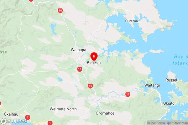
Far NorthKerikeri Region Map
Kerikeri Introduction
Kerikeri is a small town in Northland, New Zealand, located on the banks of the Kerikeri River. It is known for its historic buildings, including the Kerikeri Mission Station, which is one of the oldest buildings in New Zealand. The town is also home to a variety of outdoor activities, such as hiking, fishing, and kayaking, and is surrounded by beautiful countryside. Kerikeri is a popular tourist destination and is known for its friendly locals and relaxed atmosphere.Kerikeri Region
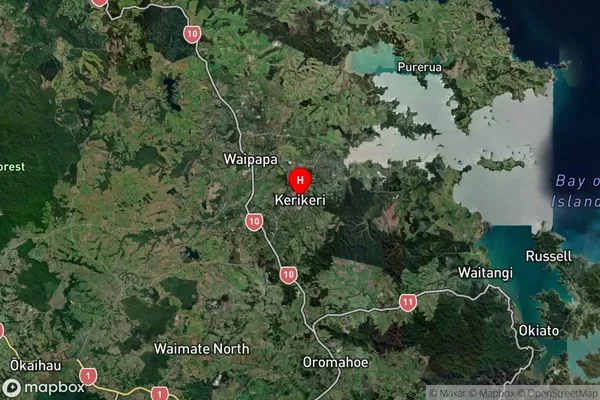
Kerikeri Satellite Map
Full Address
Kerikeri, Far North, NorthlandKerikeri Coordinates
-35.229767,173.953 (Latitude / Longitude)Kerikeri Map in NZ

NZ Island
North IslandCountry
Kerikeri Area Map (Polygon)
Not available for nowName
KerikeriAdditional Name
Ranui GDN, Ranui GardensLocal Authority
Far North District
Kerikeri Suburbs (Sort by Population)
Kerikeri also known as Ranui GDN, Ranui Gardens. Kerikeri suburb has around
-1.2 square
kilometers.There are more than 12250 people (estimated)
live in Kerikeri, Bay of Islands-Whangaroa Community, Northland, New Zealand.