Puketona Suburbs & Region, Puketona Map & Postcodes in Puketona, Kerikeri, Northland
Puketona Postcodes, Puketona ZipCodes, Puketona , Puketona Northland, Puketona Suburbs, Puketona Region, Puketona Map, Puketona Area
Puketona Region (Puketona Region)
Puketona Suburbs
Puketona is a suburb place type in Kerikeri, Northland, NZ. It contains 0 suburbs or localities.Puketona Postcodes
Puketona district
Far NorthPuketona Region Map
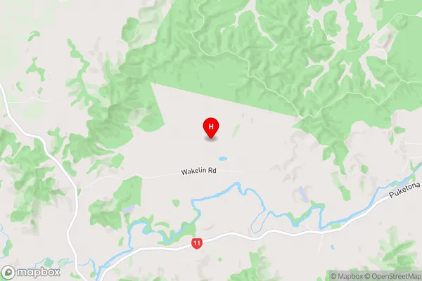
Puketona Introduction
Puketona, Northland, New Zealand, is a small rural community located on the Hokianga Harbour. It is known for its scenic views, outdoor activities, and friendly locals. The area is surrounded by lush forests, waterfalls, and pristine beaches, making it a popular destination for tourists and outdoor enthusiasts. The community has a primary school, a post office, a general store, and a few cafes and restaurants. Puketona is also home to a large number of artists and craftspeople, who work in a variety of mediums, including pottery, painting, and sculpture. The community is surrounded by beautiful countryside and is an ideal location for those who enjoy nature and a slower pace of life.Puketona Region
Puketona City
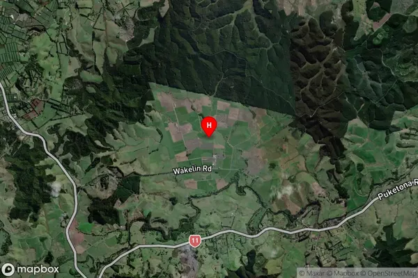
Puketona Satellite Map
Full Address
Puketona, Kerikeri, NorthlandPuketona Coordinates
-35.272622,173.989061 (Latitude / Longitude)Puketona Map in NZ
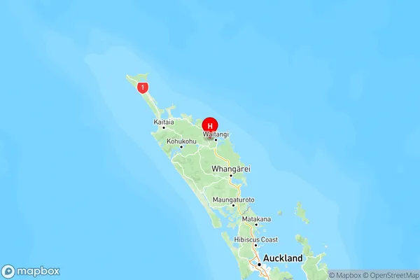
NZ Island
North IslandCountry
Puketona Area Map (Polygon)
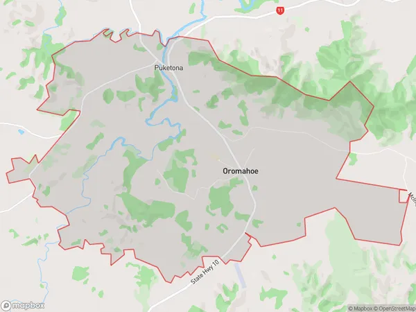
Name
OromahoeAdditional Name
PuketonaLocal Authority
Far North District
Puketona Suburbs (Sort by Population)
Oromahoe also known as Puketona. Oromahoe suburb has around
26.7 square
kilometers.There are more than 291 people (estimated)
live in Oromahoe, Bay of Islands-Whangaroa Community, Northland, New Zealand.