Waipapa Suburbs & Region, Waipapa Map & Postcodes in Waipapa, Kerikeri, Northland
Waipapa Postcodes, Waipapa ZipCodes, Waipapa , Waipapa Northland, Waipapa Suburbs, Waipapa Region, Waipapa Map, Waipapa Area
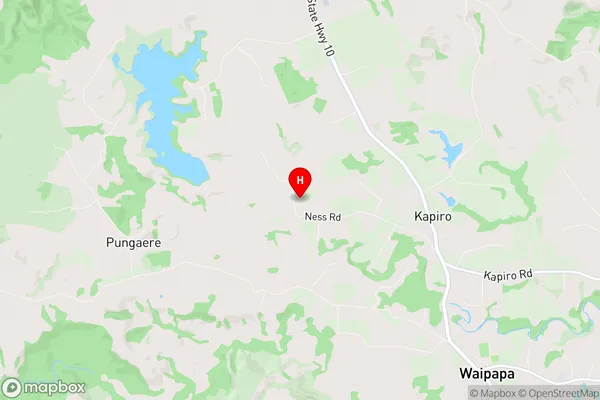
Waipapa Region (Kapiro, Pungaere, Te Whau Region)
Waipapa Suburbs
Waipapa is a suburb place type in Kerikeri, Northland, NZ. It contains 1 suburbs or localities.Waipapa Postcodes
Waipapa district
Far NorthWaipapa Region Map
Waipapa Introduction
Waipapa, Northland, New Zealand, is a small rural community located on the banks of the Waipapa River. It is known for its beautiful natural surroundings, including lush forests, waterfalls, and a stunning coastline. The community has a population of around 100 people and is home to a primary school, a post office, and a small supermarket. Waipapa is a popular destination for tourists who enjoy hiking, fishing, and kayaking. The area is also home to a number of cultural sites, including a historic pa site and a museum that showcases the region's rich history and culture.Waipapa Region
Waipapa City
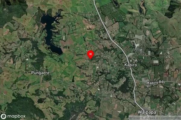
Waipapa Satellite Map
Full Address
Waipapa, Kerikeri, NorthlandWaipapa Coordinates
-35.182506,173.886965 (Latitude / Longitude)Waipapa Map in NZ
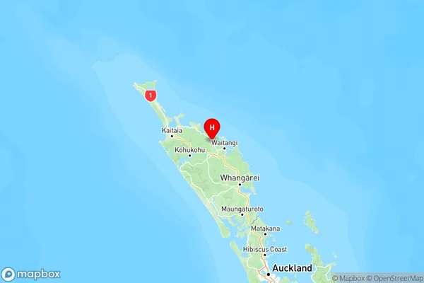
NZ Island
North IslandCountry
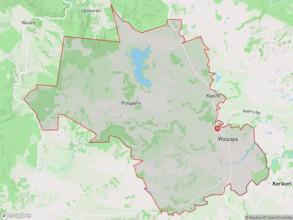
Waipapa Area Map (Polygon)
Name
WaipapaAdditional Name
Kapiro, Pungaere, Te WhauLocal Authority
Far North District
Waipapa Suburbs (Sort by Population)
Waipapa
Waipapa - 2851